 placenames
Kilrea
Cill Ria
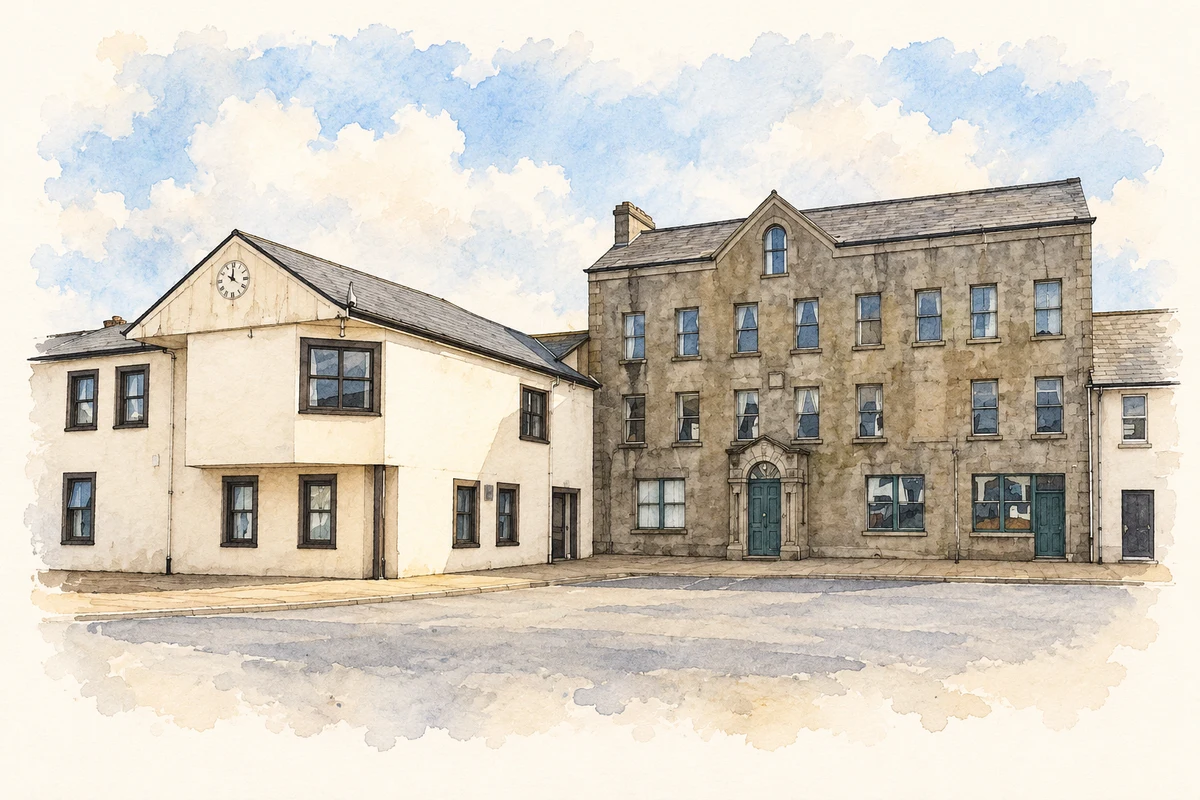
Kilrea’s Diamond, church and estate buildings record a nineteenth-century programme of rebuilding and the practical needs of a market town.
The name
These Irish name elements are associated with this record in the Logainm glossary.
An element’s translation is a clue, rather than a complete explanation of the name. Its form and meaning depend on local history and the full Irish name.
Recorded forms
- Cill Ria · Irish · main form · validated name
- Kilrea · English · main form
Place & story
From Movanagher to Kilrea
The Mercers’ Company originally centred its Ulster estate at Movanagher, north of Kilrea, with a fortified bawn and water-powered sawmill. After the destruction of that settlement in 1641, Kilrea became the principal town. The company initially leased its lands, but resumed direct control in 1831 following the death of Alexander Stewart. It then undertook an extensive programme of roads, churches and other public buildings, reshaping the town before land purchase transferred holdings to tenants in the twentieth century. [2]
St Patrick’s at the end of Church Street
St Patrick’s Church of Ireland was built in 1841–42, with the ruins of its predecessor retained in the burial ground. Its sandstone tower and octagonal spire form the southern focal point of Church Street from the Diamond. The design combines Gothic and Romanesque details, including round-headed windows and carved entrance ornament. The official survey credits George Smith while noting William Barnes’s substantial role in the project. A town clock was incorporated in the tower during construction. [3]
The agent’s house on Bridge Street
The Mercers’ new agent’s residence was built between 1832 and 1835 for William Henry Holmes. William Barnes designed the five-bay, two-storey house, with a cut-stone front and porch; James Turnbull supervised the works. The recorded cost was £4, 000. Its construction soon after the company resumed direct estate management gave architectural expression to the local agent’s importance within the administration of the town and surrounding farms. [4]
Water for the Diamond
J. W. Kernohan’s 1912 local history records the effort required to supply water to a town standing on high ground. Before later waterworks, people used Toberdoney well. In 1829 residents paid for a well and pump in the centre of the Diamond: the shaft was fifty-four feet deep and cost £90. A worker kept the cistern filled, and households and businesses paid different quarterly charges. The arrangement made an essential shared resource part of the town’s central space. [5]
Geographic information
- Place type
- Town
- County
- Derry
- Barony
- Loughinsholin
- Civil parish
- Kilrea
- Coordinates
- 54.94706, -6.56407 (approximate)
- Logainm ID
- 1416667 ↗
Sources & further reading
- Logainm.ie — Kilrea. Place names and geographic record, licensed under CC BY 4.0.
- Welcome to Historic Kilrea · Causeway Coast and Glens Museum Services, Historic Kilrea heritage leaflet
- St Patrick’s Church, Kilrea, HB 03/01/001 · Department for Communities, Historic Environment Division
- Kilrea, Bridge Street, Agent’s House, work 763 · Irish Architectural Archive, Dictionary of Irish Architects
- The Parishes of Kilrea and Tamlaght O’Crilly, Part III, pages 44–45 · J. W. Kernohan, 1912; transcription by Barbara Braswell and Richard John Torrens
- Kilrea Town Hall, The Diamond, Kilrea, County Derry illustration: based on a Kilrea Town Hall, The Diamond, Kilrea by Kenneth Allen. AI-assisted watercolour and ink adaptation; cream paper margins added, incidental clutter omitted and fine details simplified. Licence: CC BY-SA 2.0.

Name record retrieved 2026-10-25 · Source record modified 2014-10-24. How this page was prepared.