The Boyne crossing became a centre of Anglo-Norman power. Around its castle survive traces of religious houses, pilgrimage and the countryside known to Jonathan Swift.
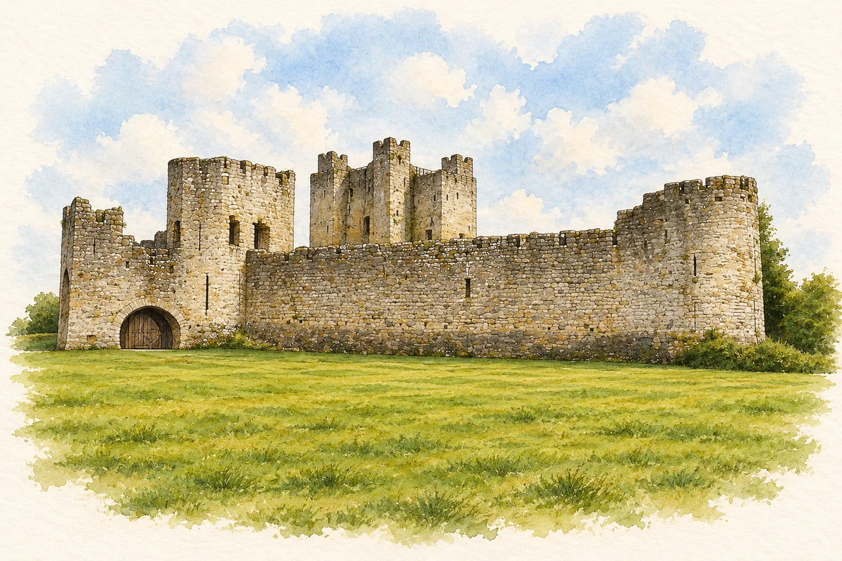
Illustration, Trim Castle — artistic reconstruction, c.1250
⊕Recorded locationTrim53.55628° N · 6.78233° WInteractive map supplied by OpenStreetMap.
A reliable full-name meaning has not been established here. The recorded Irish and English forms are given without an unsupported translation.
Recorded forms
Baile Átha Troim· Irish · main form · validated name
Trim· English · main form
Place & story
The crossing and the lordship
Meath County Council explains Áth Truim as the ford of the elder trees, placing the name within the Boyne landscape. Hugh de Lacy made Trim a centre of his lordship of Meath after the Anglo-Norman arrival. The early timber fortification was destroyed and replaced in stone. The river crossing and the seat of political power developed together.[2][3]
A keep with twenty sides
The castle’s great keep has a cruciform plan and twenty sides. The Office of Public Works describes a three-storey central fortification protected by a ditch, curtain wall and moat. Its mass reflects a building campaign continued by Hugh de Lacy’s successors. The illustration on this page is an artistic reconstruction of the medieval castle.[4]
Folklore & tradition
The town as a place of pilgrimage
The urban archaeological survey records fifteenth-century pilgrims visiting a celebrated wooden image of Our Lady at Trim. The Yellow Steeple survives from St Mary's Abbey; Meath County Council dates it to 1368 and connects its name with the stone's warm colour in evening light.[3][5]
People & connections
Jonathan Swift at nearby Laracor
Jonathan Swift served as vicar at Laracor, near Trim, in the early eighteenth century. The council’s heritage account connects his time in the district with the Journal to Stella. Across the river and downstream, the remains at Newtown Trim add another distinct ecclesiastical settlement to the landscape Swift knew.[5]
Both counts use the 2016 settlement boundary, allowing like-for-like comparison. CSO supplies the 2022 count on this older boundary for comparison only. The official 2022 Built Up Area has different boundaries.
View population figures
Trim — Census 2016 settlement footprint — census population
These figures use different area definitions. Read the boundary note before comparing them.
Trim, Meath — 2011 legal town and environs; 2016 census settlement
Published census settlement populations
9,194people · 2016
Settlement boundaries changed during this period. Differences may reflect boundary changes as well as population change. Where a 2011 legal-town-and-environs count is shown, it has not been recalculated onto the 2016 settlement boundary.
View population figures
Trim, Meath — 2011 legal town and environs; 2016 census settlement — census population
Trim Castle in its medieval prime illustration: based on a reference by Zairon. AI-assisted watercolour and ink adaptation; warm cream paper margins; incidental modern clutter removed and fine details simplified. Licence: CC BY 4.0.
 placenames