 placenames
Mornington
Baile Uí Mhornáin
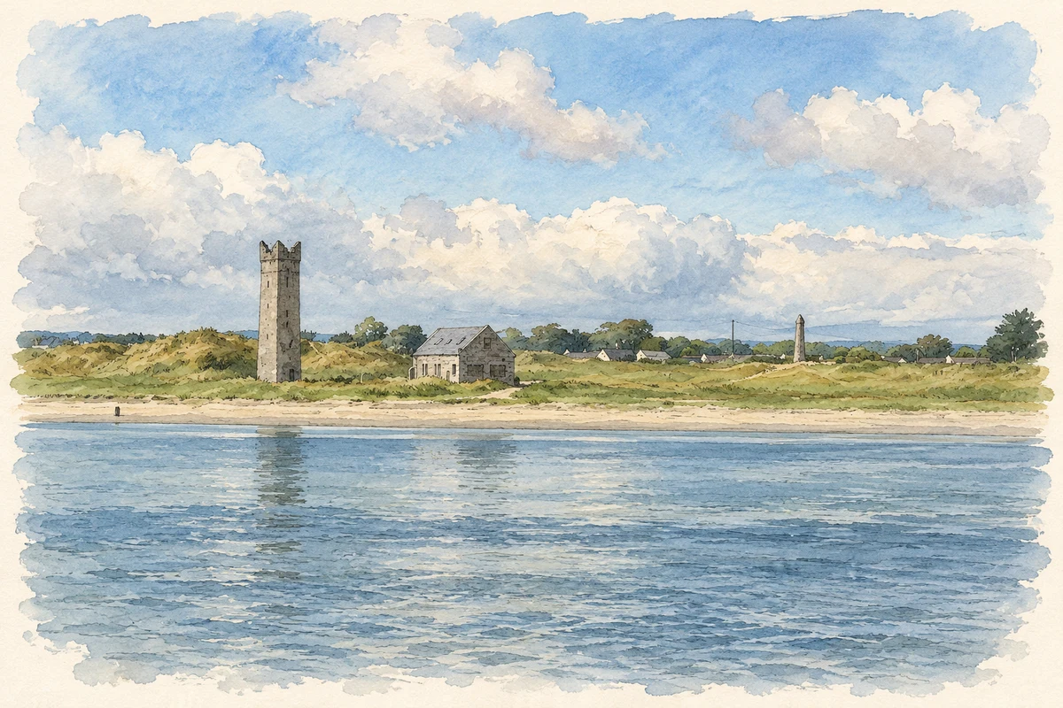
Mornington’s shore preserves a group of towers, beacons and lights associated with the approach to Drogheda Port.
The name
These Irish name elements are associated with this record in the Logainm glossary.
An element’s translation is a clue, rather than a complete explanation of the name. Its form and meaning depend on local history and the full Irish name.
Recorded forms
- Baile Uí Mhornáin · Irish · main form · validated name
- Mornington · English · main form
Place & story
A shared maritime setting
The Maiden Tower, Lady's Finger, former lifeboat house and later lighthouses form a connected group on the southern side of the Boyne estuary. A modern cultural-heritage assessment identifies their common setting and their role in marking and protecting the shipping approach to Drogheda. Although built in different periods, they should be read together with the sandhills, riverbank and views along the channel. Mornington's coastal landmarks record a working approach to a port, as well as an attractive shoreline. [2]
Stone direction posts
A group of circular stone beacons in Mornington dates to about 1800. The tapered shafts have conical caps and were marked as direction posts on the first-edition Ordnance Survey map of 1837. The National Inventory of Architectural Heritage records their purpose as guiding traffic along the Boyne estuary into Drogheda Port. Their repeated forms made practical use of the river landscape, providing mariners with recognisable fixed points rather than decorative monuments. [3]
The west lighthouse
Drogheda West Lighthouse was built around 1880. Its cast-iron lantern, glazed panels and surrounding walkway are supported on ironwork, with access by ladder. A related outbuilding retains a slate roof and timber sash windows. This relatively light metal structure contrasts with the older stone marks elsewhere on the shore. Together they show changing materials and equipment in the continuing task of guiding vessels safely through the estuary. [4]
Geographic information
- Place type
- Town
- County
- Meath
- Barony
- Duleek Lower
- Civil parish
- Colp
- Coordinates
- 53.72140, -6.28797 (approximate)
- Logainm ID
- 1416700 ↗
Sources & further reading
- Logainm.ie — Mornington. Place names and geographic record, licensed under CC BY 4.0.
- Oriel Wind Farm: Cultural Heritage Report, March2024, maritime group setting pp94–95 · RPS Group
- Mornington beacons, registration14402104 · National Inventory of Architectural Heritage
- Drogheda West Lighthouse, registration14402103 · National Inventory of Architectural Heritage
- Maiden Tower and Lady's Finger, Mornington, County Meath illustration: based on a Maiden Tower, Mornington, Co. Meath by Kieran Campbell. AI-assisted watercolour and ink adaptation; cream paper margins added, incidental clutter omitted and fine details simplified. Licence: CC BY-SA 2.0.
Name record retrieved 2026-10-25 · Source record modified 2025-01-10. How this page was prepared.