These Irish name elements are associated with this record in the Logainm glossary.
An element’s translation is a clue, rather than a complete explanation of the name. Its form and meaning depend on local history and the full Irish name.
Recorded forms
Cill Dhéagláin· Irish · main form · validated name
Ashbourne· English · main form
Place & story
On the coach road
Lewis’s 1837 entry describes Ashbourne as a post-town on the mail-coach road serving Belfast and Derry. He records sixty houses and 473 inhabitants, placing it within Killegland parish. Fairs, a constabulary station and a dispensary made it a local service centre. This is a useful dated picture of a comparatively small settlement, before later growth changed the scale of the town.[2]
A chapel reused
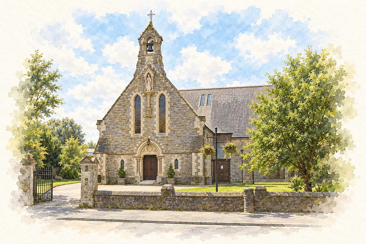
The National Inventory of Architectural Heritage records that the later parish hall incorporated the shell of a Catholic chapel erected in 1834 by Frederick Bourne. It subsequently served as a national school and became a parish hall in 1953. Nearby, the later Catholic church retains rock-faced stonework, carved dressings and stained glass. These buildings show successive community uses rather than a single unchanging function.[4][5]
People & connections
Thomas Ashe, Richard Mulcahy and the Fingal Battalion
The town’s name became inseparable from the fighting of 28 April 1916. Thomas Ashe and Richard Mulcahy led the Fingal Battalion’s Volunteers in operations against police barracks, communications and transport during Easter Week. At Ashbourne an attack on the RIC barracks developed into a prolonged battle when police reinforcements arrived. The Volunteers forced the opposing force to surrender. Military Archives presents the action as the major engagement outside Dublin during the Rising.[6][7]
Rath Cross and the evidence of a neighbour
John Austin’s Bureau of Military History statement locates the barracks near Rath Cross, north of the village as it then existed. He describes the detached two-storey building, its entrances and the hedges and small fields around it. These details show why the approaches and available cover mattered to the fighting. Austin also records that the barracks was destroyed after evacuation in 1920. The later memorial at Rath Cross was unveiled in 1959 and enlarged for the 2016 centenary. Battle site, vanished building and commemorative monument are therefore three distinct layers of the same local history.[6][7]
Both counts use the 2016 settlement boundary, allowing like-for-like comparison. CSO supplies the 2022 count on this older boundary for comparison only. The official 2022 Built Up Area has different boundaries.
View population figures
Ashbourne — Census 2016 settlement footprint — census population
These figures use different area definitions. Read the boundary note before comparing them.
Ashbourne, Meath
Published census settlement populations
12,679people · 2016
Settlement boundaries changed during this period. Differences may reflect boundary changes as well as population change. Where a 2011 legal-town-and-environs count is shown, it has not been recalculated onto the 2016 settlement boundary.
Church of the Immaculate Conception illustration: based on a reference by Harold Strong. AI watercolour/ink adaptation; clutter removed, margins added and fine details simplified. Licence: CC BY-SA 2.0.
 placenames