Carlanstown’s broad street and fair green recall its market role, while Saint Patrick’s Well preserves a tale about money unexpectedly recovered after a year.
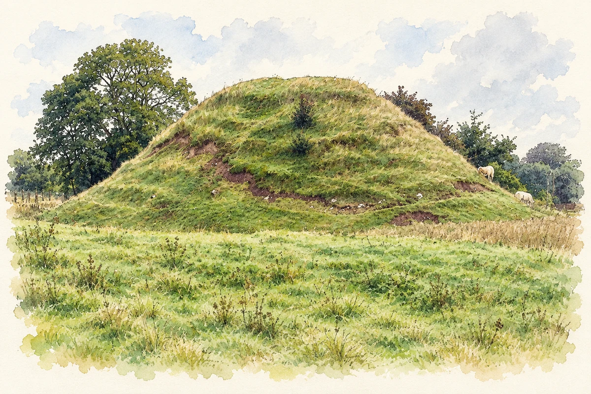
Kilbeg Upper motte, near Carlanstown
⊕Recorded locationCarlanstown53.76182° N · 6.84090° WInteractive map supplied by OpenStreetMap.
These Irish name elements are associated with this record in the Logainm glossary.
An element’s translation is a clue, rather than a complete explanation of the name. Its form and meaning depend on local history and the full Irish name.
Recorded forms
Droichead Chearbhalláin· Irish · main form · validated name
Carlanstown· English · main form
Place & story
A village organised around trade
Samuel Lewis recorded fifty-three houses in Carlanstown in 1833 and four annual fairs in his 1837 account. He singled out the November fair for fat cattle as especially important. The village's later character remains associated with a wide main street, formal rows of houses and a fair green at the northern end, features identified by Meath County Council. Trade and the river crossing helped concentrate activity here. The recorded nineteenth-century settlement should be distinguished from much less certain claims about when people first occupied the surrounding area.[2][3]
The crossing and traces of an older bridge
Carlanstown's road bridge dates from around 1800. Its single arch is built with carefully dressed limestone, with long parapets leading towards the crossing. Two blocked arches from an earlier structure survive to the north. The architectural inventory suggests that the river may once have been wider at this point, but treats that explanation as a possibility. The visible earlier arches provide firmer evidence that the crossing was modified over time. They make the bridge a record of changing infrastructure rather than a structure whose entire history belongs to one date.[4]
Folklore & tradition
The cattle dealer’s missing money
Noel French records a story from Jack Fitzsimons's parish history about a Tipperary cattle dealer who left twenty sovereigns on a wall beside Saint Patrick's Well after a fair. Unable to recover them, he stayed away while rebuilding his trading funds. A year later, while showing others where the loss had occurred, he supposedly found the coins exactly where he had left them. The tale links the well with the risks and hopes of the cattle trade. It is an attested local story, not a verified account of money remaining untouched for a year.[5]
Both counts use the 2016 settlement boundary, allowing like-for-like comparison. CSO supplies the 2022 count on this older boundary for comparison only. The official 2022 Built Up Area has different boundaries.
View population figures
Carlanstown — Census 2016 settlement footprint — census population
These are the historical areas published in the 2006 census report. Boundaries may differ between censuses and from modern settlements. Legal towns, environs and suburbs are shown separately; none has been combined into a modern settlement total.
View population figures
Carlanstown, Meath — Census town, CSO 2006 report — census population
These figures use different area definitions. Read the boundary note before comparing them.
Carlanstown, Meath
Published census settlement populations
664people · 2016
Settlement boundaries changed during this period. Differences may reflect boundary changes as well as population change. Where a 2011 legal-town-and-environs count is shown, it has not been recalculated onto the 2016 settlement boundary.
 placenames