 placenames
Castlefreke
Ráth an Bharraigh
A country house shaped by fire and rebuilding stands in a landscape of medieval and nineteenth-century churches.
The name
These Irish name elements are associated with this record in the Logainm glossary.
An element’s translation is a clue, rather than a complete explanation of the name. Its form and meaning depend on local history and the full Irish name.
Recorded forms
- Ráth an Bharraigh · Irish · main form · validated name
- Castlefreke · English · main form
Place & story
A house rebuilt after fire
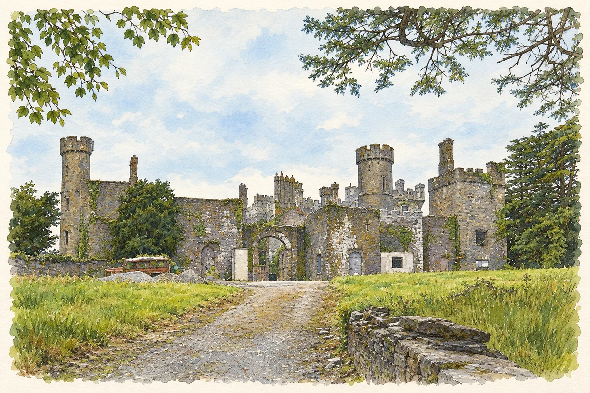
The late eighteenth-century country house at Castlefreke succeeded an earlier Barry family castle. Its fortunes changed repeatedly: alterations in the nineteenth century were followed by a destructive fire in 1910 and restoration by 1913. John, tenth Lord Carbery, sold it after the First World War. An Irish Tourist Association survey found it empty but in good repair in the early 1940s, when it belonged to the Land Commission. Later ruin was followed by partial restoration. [2]
Medieval Rathbarry
About a kilometre southeast of the village point, the older Rathbarry church preserves a thirteenth-century east window with three narrow lights and a piscina, the basin used in the liturgy. Archaeologist Eamonn Cotter identifies its western half as a later extension and dates the ruined western tower tentatively to the early seventeenth century. Conservation in 2025 secured window masonry, sections of wall and the east gable; it required no excavation below ground. [3]
The estate church beside it
A separate Church of Ireland building was erected beside the medieval church in 1825 with Freke family patronage. Its tower still has pinnacles, while traces of a mosaic survive in the chancel. The local trails account records a private entrance and seating for Lord Carbery’s family and gives 1927 as the end of worship there. Together, the two ruins preserve different periods of religious life within the demesne. [4] [5]
Geographic information
- Place type
- Population centre
- County
- Cork
- Barony
- Ibane and Barryroe
- Civil parish
- Rathbarry
- Coordinates
- 51.57261, -8.98092 (approximate)
- Logainm ID
- 1416967 ↗
Sources & further reading
- Logainm.ie — Castlefreke. Place names and geographic record, licensed under CC BY 4.0.
- Castle Freke: property 2896 · University of Galway, Landed Estates Database
- Rathbarry church: conservation report 2025:582 · Eamonn Cotter
- Rathbarry Church: record 20914316 · National Inventory of Architectural Heritage
- Rathbarry Old Churches Loop · Castlefreke Trails
- Castlefreke, County Cork illustration: based on a Castlefreke, Rosscarbery, Cork by Garry Dickinson. AI-assisted watercolour and ink adaptation; cream paper margins added, incidental clutter omitted and fine details simplified. Licence: CC BY-SA 2.0.
Name record retrieved 2026-10-25 · Source record modified 2025-01-10. How this page was prepared.