 placenames
Howth
Binn Éadair
The 1911 return separates Howth town from the population elsewhere in the townland.
The name
These Irish name elements are associated with this record in the Logainm glossary.
An element’s translation is a clue, rather than a complete explanation of the name. Its form and meaning depend on local history and the full Irish name.
Recorded forms
- Binn Éadair · Irish · main form · validated name
- Howth · English · main form
Place & story
Two census entries
Outside Howth town, the townland had 576 inhabitants in 1911, 251 male and 325 female, in 127 occupied houses; twenty-nine houses were uninhabited. Howth town separately had 1,357 inhabitants, 666 male and 691 female, in 269 occupied houses, with forty-nine uninhabited. A footnote confirms that the town stood on the townland of the same name. Its estimated thirty-five acres were included in the townland’s area of 1,188 acres, three roods and three perches. The entries belonged to Howth electoral division in Clontarf and Howth No. 2 dispensary district, within the county portion of Dublin North Poor Law Union. [2]
Geographic information
Sources & further reading
- Logainm.ie — Howth. Place names and geographic record, licensed under CC BY 4.0.
- Census of Ireland 1911: County Dublin, Table VII, printed page 20 and footnote (f) · His Majesty’s Stationery Office; printed by the Athlone Printing Works Company, 1912
- Boundary geometry retains its source attribution and licence in the downloadable geographic record. Map tiles © OpenStreetMap contributors.
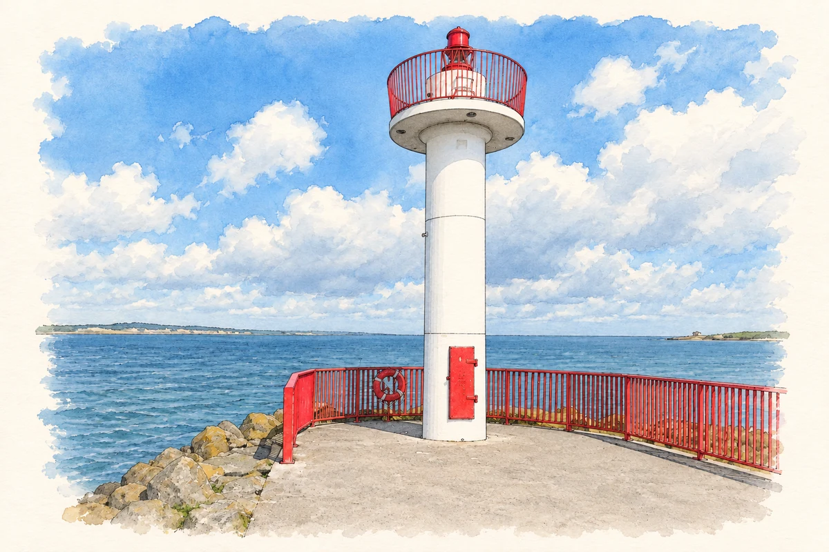
- Navigation light at Howth Harbour, County Dublin illustration: based on a Navigation light, Howth Harbour by Colin Park. AI-assisted watercolour and ink adaptation; cream paper margins added, incidental clutter omitted and fine details simplified. Licence: CC BY-SA 2.0.
Name record retrieved 2026-10-25 · Source record modified 2024-06-28. How this page was prepared.