Townland

Kilclooney More

Cill Chluanadh Mhór

The surviving portal tombs preserve contrasting roofstones and evidence of changes recorded by antiquarians.
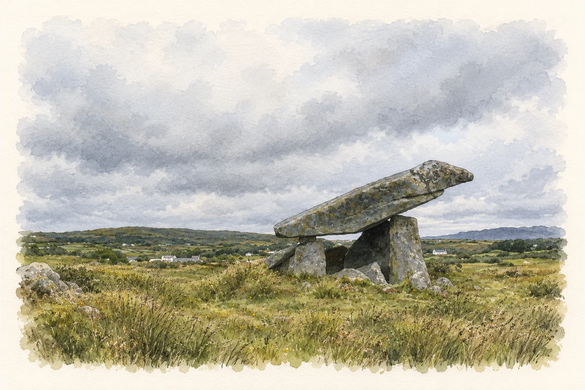
Watercolour and fine ink illustration of Kilclooney More portal tomb with a long tilted capstone supported on rough upright stones in open moorland.
Illustration, the larger portal tomb at Kilclooney More, County Donegal, as photographed in August 2002
Recorded locationKilclooney More54.81578° N · 8.43806° WInteractive map supplied by OpenStreetMap.
Recorded place location · Logainm.ie

The name

These Irish name elements are associated with this record in the Logainm glossary.

An element’s translation is a clue, rather than a complete explanation of the name. Its form and meaning depend on local history and the full Irish name.

Recorded forms

  • Cill Chluanadh Mhór · Irish · main form · non-validated name
  • Kilclooney More · English · main form

Place & story

A large chamber and a smaller neighbour

Eamon Cody’s survey describes two portal-tomb chambers a little over nine metres apart within the remains of a long mound. The larger chamber has two entrance stones about 1.8 metres high, with a sill between them. A massive roofstone, measured at 4.2 metres long, rests on these portals and a small padstone above the backstone. A later field wall crosses the mound between the chambers. [2]

A roofstone displaced over time

The smaller chamber’s roofstone has slipped sideways. A watercolour dated 1799, based on an earlier drawing, shows it still covering the chamber. Thomas Fagan found it partly dislodged in 1847, although the survey could not establish whether it had then reached the position recorded in the modern account. [2]

Geographic information

Place type
Townland
County
Donegal
Barony
Boylagh
Civil parish
Inishkeel
Within
Dawros
Coordinates
54.81578, -8.43806
Mapped area
2.41 km²
Logainm ID
14599 ↗

People & family history

Census figures refer to the matched historical census area for each year. Boundaries and spellings can change over time.

1901 census

No verified place match is available for this year. This does not indicate a population of zero.

1911 census

41People recorded
10Households recorded

Most frequent surnames in this year’s matched records

  • McNelis 11
  • Boyle 9
  • McLoone 7
  • Adamson 5
  • Conaghan 3
Explore the 1911 records ↗

1926 census

47People recorded
10Households recorded

Most frequent surnames in this year’s matched records

  • McLoone 10
  • McNelis 10
  • Rourke 8
  • Shovlin 7
  • Boyle 6
Explore the 1926 records ↗

Sources & further reading

  1. Logainm.ie — Kilclooney More. Place names and geographic record, licensed under CC BY 4.0.
  2. Kilclooney More portal tomb DG073-004: Survey of the Megalithic Tombs of Ireland, volumeVI,2002 · Eamon Cody; Archaeological Survey of Ireland
  3. Boundary geometry retains its source attribution and licence in the downloadable geographic record. Map tiles © OpenStreetMap contributors.
  4. The larger portal tomb at Kilclooney More, County Donegal illustration: based on a Kilclooney Dolmen by Nigel Callaghan. AI-assisted watercolour and ink adaptation; cream paper margins added, incidental clutter omitted and fine details simplified. Licence: CC BY-SA 2.0.

Name record retrieved 2026-10-25 · Source record modified 2011-05-27. How this page was prepared.