 placenames
Carrigans
An Carraigín
The original census explains why the settlement and the surrounding land have separate entries.
The name
A reliable full-name meaning has not been established here. The recorded Irish and English forms are given without an unsupported translation.
Recorded forms
- An Carraigín · Irish · main form · validated name
- Carrigans · English · main form
Place & story
Land area and the town return
In the 1911 census, Carrigans townland appears under Killea parish and Raphoe North barony with an area of eighty-three acres, one rood and four perches. A footnote states that Carrigans town stood on that townland and occupied an estimated ten acres. Its population was returned separately as 199 people, 103 male and ninety-six female, in forty occupied houses; five further houses were empty. The town’s area and valuation were included within the townland’s figures. The two entries therefore describe related geographic units, rather than independent populations to add together. [2]
Geographic information
- Place type
- Townland
- County
- Donegal
- Barony
- Raphoe North
- Civil parish
- Killea
- Within
- Killea
- Coordinates
- 54.95416, -7.42761
- Mapped area
- 0.34 km²
- Logainm ID
- 15276 ↗
Sources & further reading
- Logainm.ie — Carrigans. Place names and geographic record, licensed under CC BY 4.0.
- Census of Ireland1911: County Donegal, printed p50 and footnote(a) · Census Commissioners William J. Thompson, Edward O’Farrell and Daniel S. Doyle; Census Office, 1912
- Boundary geometry retains its source attribution and licence in the downloadable geographic record. Map tiles © OpenStreetMap contributors.
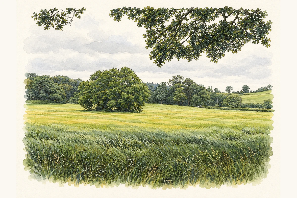
- Tree known as the Miracle Tree near Carrigans, County Donegal illustration: based on a The Miracle Tree, Carrigans by Kenneth Allen. AI-assisted watercolour and ink adaptation; cream paper margins added, incidental clutter omitted and fine details simplified. Licence: CC BY-SA 2.0.
Name record retrieved 2026-10-25 · Source record modified 2026-04-14. How this page was prepared.