Townland

Dooish

An Dubhais

The Donegal townland’s census record and a dated school account describe different generations of community life.
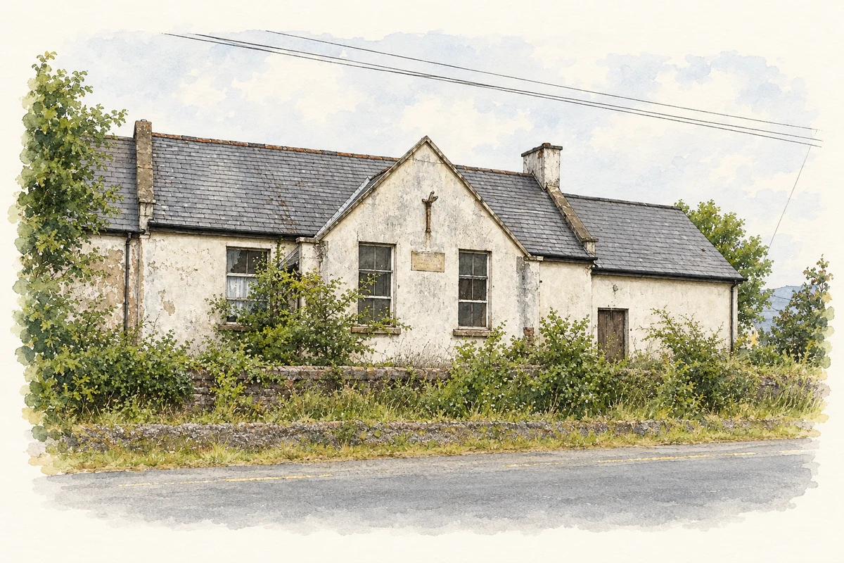
Watercolour and fine ink view of the weathered white front and central gable of the former Dooish National School, with slate roofs and roadside greenery.
Illustration, the former Dooish National School near Ballybofey, County Donegal, as photographed in June 2009
Recorded locationDooish54.79857° N · 7.83758° WInteractive map supplied by OpenStreetMap.
Recorded place location · Logainm.ie

The name

A reliable full-name meaning has not been established here. The recorded Irish and English forms are given without an unsupported translation.

Recorded forms

  • An Dubhais · Irish · main form · non-validated name
  • Dooish · English · main form

Place & story

Forty-six occupied houses in 1911

Dooish had 195 inhabitants in 1911, ninety-five male and one hundred female. Forty-six of its fifty-two houses were occupied and six were empty. The population had been 239 in 1891 and 226 in 1901. Listed in Stranorlar parish and Raphoe South barony, the townland belonged to Dooish electoral division and Stranorlar Poor Law Union. Its recorded area was 1,089 acres, two roods and thirteen perches. [2]

Folklore & tradition

Making rush crosses in 2026

Dooish National School’s February 2026 account records parents and grandparents joining pupils to make Saint Brigid’s crosses from rushes. Visiting priests blessed the crosses, and each child took one home. The school describes adults helping children learn the craft. This documents a particular school celebration and the sharing of a practical skill across generations. [3]

Geographic information

Place type
Townland
County
Donegal
Civil parish
Stranorlar
Within
Dooish
Coordinates
54.79857, -7.83758
Mapped area
4.41 km²
Logainm ID
16342 ↗

People & family history

Census figures refer to the matched historical census area for each year. Boundaries and spellings can change over time.

1901 census

226People recorded
48Households recorded

Most frequent surnames in this year’s matched records

  • Doherty 25
  • McBride 24
  • McCool 17
  • McGonigle 11
  • McCrudden 10
Explore the 1901 records ↗

1911 census

195People recorded
46Households recorded

Most frequent surnames in this year’s matched records

  • McBride 27
  • Doherty 26
  • McCrudden 15
  • McCool 13
  • Quigley 9
Explore the 1911 records ↗

1926 census

181People recorded
42Households recorded

Most frequent surnames in this year’s matched records

  • Doherty 24
  • Quigley 13
  • McCrudden 11
  • McCready 9
  • McBride 8
Explore the 1926 records ↗

Sources & further reading

  1. Logainm.ie — Dooish. Place names and geographic record, licensed under CC BY 4.0.
  2. Census of Ireland 1911: County Donegal, Table VII, printed page 66 · Census Commissioners for Ireland, 1912
  3. Saint Brigid’s Day: Cross Making, February 2026, school homepage · Dooish National School
  4. Boundary geometry retains its source attribution and licence in the downloadable geographic record. Map tiles © OpenStreetMap contributors.
  5. Front of the former Dooish National School near Ballybofey, County Donegal illustration: based on a Old National school Dooish by Willie Duffin. AI-assisted watercolour and ink adaptation; cream paper margins added, incidental clutter omitted and fine details simplified. Licence: CC BY-SA 2.0.

Name record retrieved 2026-10-25 · Source record modified 2025-01-29. How this page was prepared.