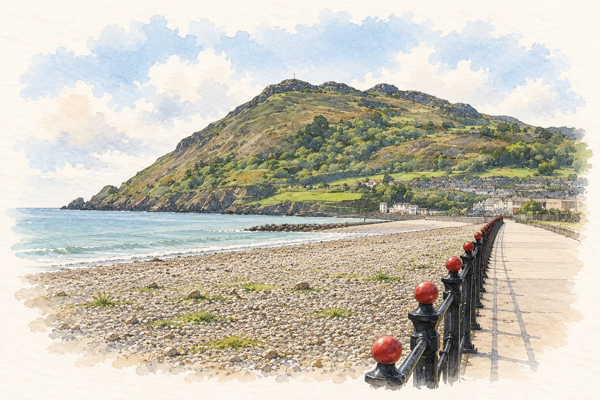
A reliable full-name meaning has not been established here. The recorded Irish and English forms are given without an unsupported translation.
Recorded forms
Bré· Irish · main form · validated name
Bray· English · main form
Place & story
A headland as a landmark
Lewis’s 1837 description singles out Bray Head, with its distinctive outline, as a landmark for mariners. He connects earlier forms Bré and Bree with a hill or headland, an attributed historical interpretation rather than a full linguistic assessment in this guide. The physical feature gives a clear coastal reference independent of that debate. It also helps explain why the place could be recognised from the sea as well as from the road south of Dublin.[2]
People & connections
James Joyce at Martello Terrace
James Joyce’s family lived at 1 Martello Terrace in Bray from 1887 to 1891. The James Joyce Digital Archive identifies the address through the surviving record of his homes and correspondence about them. Joyce was born in Rathgar, Dublin; Bray belongs to his childhood rather than his birthplace. The house stood in a seaside setting that was already becoming a destination for visitors. Keeping the address and dates visible gives the connection substance, beyond a general claim that the novelist knew County Wicklow.[3]
A promenade and a new industry
Bray’s promenade developed in the Victorian period as part of William Dargan’s plans for a seaside resort. Its route extends from the harbour towards the foot of Bray Head. A century later, a different visitor economy arrived through film production. Ardmore Studios opened in 1958 under managing directors Emmet Dalton and Louis Elliman, with Seán Lemass conducting the opening. The studio site near Bray brought technical and creative employment into the area, adding a modern industry to a town strongly associated with its beach and summer visitors.[4][5][6]
The studios’ uncertain future in 1973
RTÉ’s contemporary news report records Ardmore’s sale at public auction in July 1973 for £390,000. RTÉ bought the site on behalf of the government, pending a new body to operate it. The report explicitly connects the intervention with protecting skilled film-industry employment and trying to make the studios commercially viable. This episode shows that Bray’s film connection was not an uninterrupted success story. The facilities, workers and public decisions behind productions are part of the town’s history as surely as the better-known names appearing on screen.[5]
Both counts use the 2016 settlement boundary, allowing like-for-like comparison. CSO supplies the 2022 count on this older boundary for comparison only. The official 2022 Built Up Area has different boundaries.
View population figures
Bray — Census 2016 settlement footprint — census population
These figures use different area definitions. Read the boundary note before comparing them.
Bray, Wicklow — 2011 legal town and environs; 2016 census settlement
Published census settlement populations
32,600people · 2016
Settlement boundaries changed during this period. Differences may reflect boundary changes as well as population change. Where a 2011 legal-town-and-environs count is shown, it has not been recalculated onto the 2016 settlement boundary.
View population figures
Bray, Wicklow — 2011 legal town and environs; 2016 census settlement — census population
Bray Head and the seafront promenade illustration: based on a reference by Colin Park. AI-assisted watercolour and ink adaptation; warm cream paper margins; incidental modern clutter removed and fine details simplified. Licence: CC BY-SA 2.0.
 placenames