These Irish name elements are associated with this record in the Logainm glossary.
An element’s translation is a clue, rather than a complete explanation of the name. Its form and meaning depend on local history and the full Irish name.
Recorded forms
Baile Brigín· Irish · main form · validated name
Balbriggan· English · main form
Place & story
A harbour marker of 1761
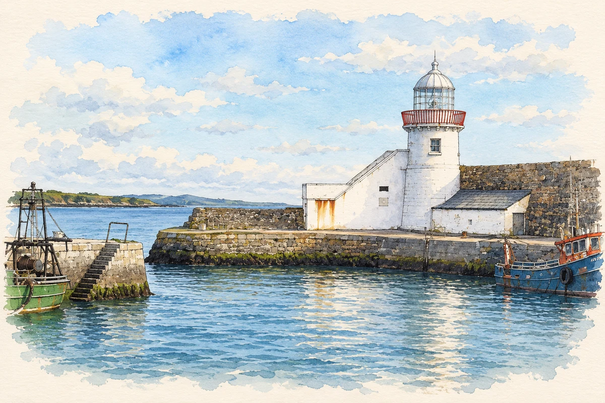
Balbriggan’s lighthouse is a compact circular tower with a tapering profile, an elevated doorway and a railed walkway around its lantern. The National Inventory of Architectural Heritage dates it to 1761. The associated pier inscription names George Hamilton and explicitly links the work with trade and prosperity. Harbour infrastructure was also a statement about the town’s ambitions.[2]
More than a navigational date
A second plaque adds a different kind of history. It commemorates Patrick Joseph Hanley, who died during an attempted rescue in a storm in August 1957. The eighteenth-century construction and twentieth-century memorial do not describe the same event, but they share a setting where the harbour connected daily work with danger. The lighthouse thus carries both a practical maritime function and a record of local remembrance, making its modest scale a poor guide to its historical interest.[2]
The sack of September 1920
Balbriggan’s industrial and harbour history includes the violence of September 1920. Fingal Local Studies and Archives records that RIC officer Peter Burke was killed and his brother wounded after an altercation in a Drogheda Street public house. The precise circumstances of that encounter remain disputed. Later that night, men arrived from Gormanstown and attacked the town in reprisal, looting property and setting buildings alight.[3]
Seamus Lawless and Sean Gibbons were taken from their homes; their bodies were found the following morning near Bridge Street and Quay Street. Homes and businesses were damaged or destroyed, and the sack received international attention. Fingal’s exhibition sets the attack against a town whose hosiery and linen factories had previously offered substantial employment. The episode belongs to the history of named victims and working households as well as the wider War of Independence.[3]
Both counts use the 2016 settlement boundary, allowing like-for-like comparison. CSO supplies the 2022 count on this older boundary for comparison only. The official 2022 Built Up Area has different boundaries.
View population figures
Balbriggan — Census 2016 settlement footprint — census population
These figures use different area definitions. Read the boundary note before comparing them.
Balbriggan, Fingal — 2011 legal town and environs; 2016 census settlement
Published census settlement populations
21,722people · 2016
Settlement boundaries changed during this period. Differences may reflect boundary changes as well as population change. Where a 2011 legal-town-and-environs count is shown, it has not been recalculated onto the 2016 settlement boundary.
View population figures
Balbriggan, Fingal — 2011 legal town and environs; 2016 census settlement — census population
Balbriggan Lighthouse illustration: based on a reference by Colin Park. AI-assisted watercolour and fine ink adaptation; warm cream paper margins; incidental clutter removed and architectural details simplified. Licence: CC BY-SA 2.0.
 placenames