 placenames
Mulhuddart
Mullach Eadrad
Mulhuddart’s river crossing and old church site survive within a much-changed Dublin suburb.
The name
These Irish name elements are associated with this record in the Logainm glossary.
An element’s translation is a clue, rather than a complete explanation of the name. Its form and meaning depend on local history and the full Irish name.
Recorded forms
- Mullach Eadrad · Irish · main form
- Mulhuddart · English · main form
Place & story
The village bridge
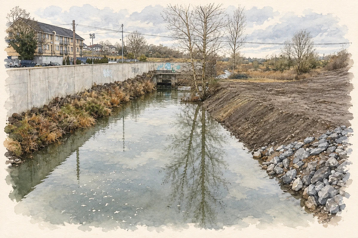
Mulhuddart Bridge is a single-arch stone river crossing dated approximately to 1885 by the architectural inventory. Rough-faced limestone forms its walls, with granite used for the dressings. The bridge is recorded in Buzzardstown at Mulhuddart. [2]
The church on the hill
Above the former village centre stand the ruins of the medieval Church of Mary and its graveyard. Fingal County Council records that the church remained in use into the late sixteenth century. It was closely associated with a nearby holy well that served as a focus of local religious devotion. [3]
Geographic information
- Place type
- Population centre
- County
- Dublin
- Barony
- Castleknock
- Civil parish
- Clonsilla
- Coordinates
- 53.40264, -6.39989
- Logainm ID
- 17103 ↗
Sources & further reading
- Logainm.ie — Mulhuddart. Place names and geographic record, licensed under CC BY 4.0.
- Mulhuddart Bridge, NIAH 11353009 · National Inventory of Architectural Heritage
- Welcome to Mulhuddart · Fingal County Council
- The Tolka viewed upstream from Mulhuddart Bridge, as photographed in December 2012 illustration: based on a Tolka River looking upstream from Mulhuddart Bridge by jwd. AI-assisted watercolour and ink adaptation; cream paper margins added, incidental clutter omitted and fine details simplified. Licence: CC BY-SA 2.0.
Name record retrieved 2026-10-25 · Source record modified 2026-07-01. How this page was prepared.