 placenames
Fairview
Fionnradharc
Excavation provides evidence for this west Dublin townland, separate from Fairview near the Tolka.
The name
A reliable full-name meaning has not been established here. The recorded Irish and English forms are given without an unsupported translation.
Recorded forms
- Fionnradharc · Irish · main form · validated name
- Fairview · English · main form
Place & story
A ditch reconsidered
Ruth Elliott excavated a ditch at Fairview between December 2000 and February 2001 after drainage works exposed it. Pottery in its silt fill dated it to the seventeenth or eighteenth century. The ditch followed part of a roughly circular boundary shown on early Ordnance Survey mapping. Elliott concluded that it was more likely associated with the Fairview oil mills than with the suggested religious enclosure around the Two Sisters Wells. [2]
Two occupied houses in 1911
Fairview had ten inhabitants in 1911, two male and eight female. Two houses were occupied and four were empty. The population had been twenty-four in 1891 and fourteen in 1901. The census places the townland in Clondalkin parish, electoral division and dispensary district, within Uppercross barony and Dublin South Poor Law Union. Its recorded area was ninety-two acres, three roods and twenty-four perches. [3]
Geographic information
- Place type
- Townland
- County
- Dublin
- Barony
- Uppercross
- Civil parish
- Clondalkin
- Coordinates
- 53.31878, -6.40715
- Mapped area
- 0.38 km²
- Logainm ID
- 17375 ↗
Sources & further reading
- Logainm.ie — Fairview. Place names and geographic record, licensed under CC BY 4.0.
- 2000:0222 Fairview, Clondalkin, licence 00E0931 · Ruth Elliott, for Judith Carroll & Company Ltd, Excavations.ie
- Census of Ireland 1911: County Dublin, Table VII, printed page 24 · His Majesty’s Stationery Office; printed by the Athlone Printing Works Company, 1912
- Boundary geometry retains its source attribution and licence in the downloadable geographic record. Map tiles © OpenStreetMap contributors.
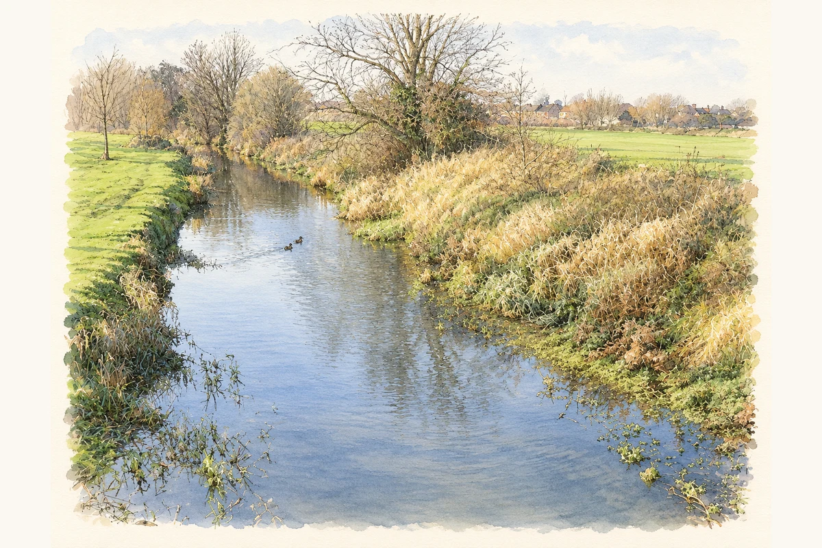
- Camac River near Fairview, Clondalkin, County Dublin illustration: based on a Camac River approaching Fonthill Road near Clondalkin by jwd. AI-assisted watercolour and ink adaptation; cream paper margins added, incidental clutter omitted and fine details simplified. Licence: CC BY-SA 2.0.
Name record retrieved 2026-10-25 · Source record modified 2024-06-28. How this page was prepared.