 placenames
Bluebell
An Cloigín Gorm
Monitoring at Old Naas Road Cottages recorded materials reused during redevelopment east of the historic townland.
The name
A reliable full-name meaning has not been established here. The recorded Irish and English forms are given without an unsupported translation.
Recorded forms
- An Cloigín Gorm · Irish · main form · validated name
- Bluebell · English · main form
Place & story
Salvaged bricks from the cottages
On Old Naas Road, just east of this townland, demolition at numbers 8–14 exposed evidence of the cottages’ building materials. Dermot Nelis’s 2018 report records yellow clay bricks stamped Dolphins Barn and red bricks marked Kingscourt Brick & Terracotta Works. Construction workers salvaged both types for reuse. Monitoring also recorded concrete foundations and modern ceramic and plastic drains, but found no archaeological features or artefacts in the development area. This result concerns the monitored site, rather than the whole Bluebell district. [2]
Geographic information
- Place type
- Townland
- County
- Dublin
- Barony
- Uppercross
- Civil parish
- Drimnagh
- Coordinates
- 53.32811, -6.35238
- Mapped area
- 0.45 km²
- Logainm ID
- 17391 ↗
Sources & further reading
- Logainm.ie — Bluebell. Place names and geographic record, licensed under CC BY 4.0.
- 2018:540 Bluebell: 8–14 Old Naas Road Cottages, licence 18E0158 · Dermot Nelis
- Boundary geometry retains its source attribution and licence in the downloadable geographic record. Map tiles © OpenStreetMap contributors.
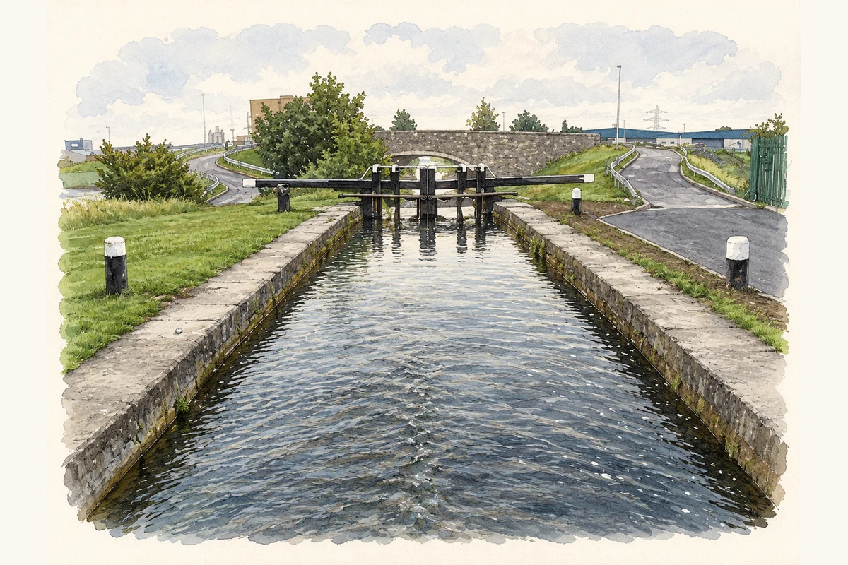
- Seventh Lock on the Grand Canal at Bluebell, Dublin illustration: based on a 7th Lock on the Grand Canal in Bluebell, Dublin 12 by JP. AI-assisted watercolour and ink adaptation; cream paper margins added, incidental clutter omitted and fine details simplified. Licence: CC BY-SA 2.0.
Name record retrieved 2026-10-25 · Source record modified 2024-06-28. How this page was prepared.