 placenames
Burrishoole
Buiríos Umhaill
A research station developed a long record of migration between freshwater and the Atlantic.
The name
A reliable full-name meaning has not been established here. The recorded Irish and English forms are given without an unsupported translation.
Recorded forms
- Buiríos Umhaill · Irish · main form · validated name
- Burrishoole · English · main form
Place & story
Traps and a changing institution
The Marine Institute’s history of the Burrishoole catchment records partial fish traps between Lough Feeagh and Lough Furnace in 1959. The Guinness-funded Salmon Research Trust oversaw this work, and complete traps on both lake outlets were in place by 1970. The station passed to the Irish state in 1989 as the Salmon Research Agency of Ireland, which joined the Marine Institute in 1999. Monitoring of the wider catchment developed alongside the fish counts to help explain the ecological conditions affecting them. [2]
Geographic information
Sources & further reading
- Logainm.ie — Burrishoole. Place names and geographic record, licensed under CC BY 4.0.
- About the Burrishoole Catchment · Marine Institute
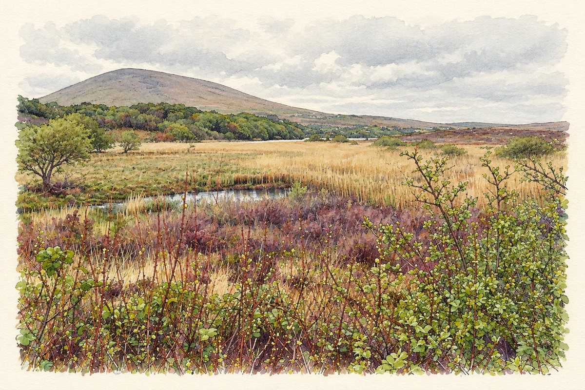
- Reed beds beside Lough Feeagh, Burrishoole illustration: based on a A view of Lough Feeagh in Co. Mayo by Enda O Flaherty. AI-assisted watercolour and ink adaptation; cream paper margins added, incidental clutter omitted and fine details simplified. Licence: CC BY-SA 2.0.
Name record retrieved 2026-10-25 · Source record modified 2026-09-19. How this page was prepared.