 placenames
Castlegar
An Caisleán Gearr
A 1997 archaeological report records the castle and tests in a field across its road.
The name
These Irish name elements are associated with this record in the Logainm glossary.
An element’s translation is a clue, rather than a complete explanation of the name. Its form and meaning depend on local history and the full Irish name.
Recorded forms
- An Caisleán Gearr · Irish · main form · validated name
- Castlegar · English · main form
Place & story
The tower and its surroundings
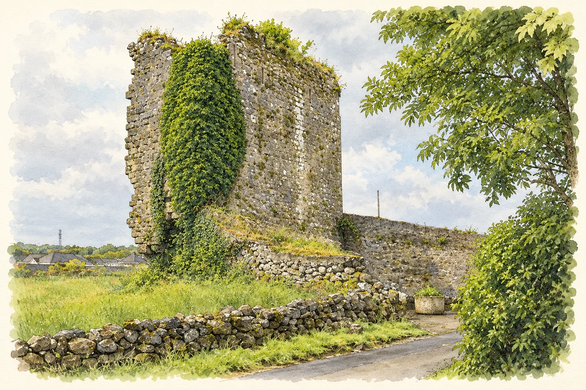
Jim Higgins describes Castlegar Castle on a limestone outcrop beside ground formerly occupied by a lake. The surviving tower had at least four levels, with a stone vault at the third and traces of its wickerwork centring. In 1997, three test trenches were opened in the field across the road, between 45 and 62 metres from the castle. They revealed limestone and modern finds, including glazed pottery and oyster shell, but no archaeological features. [2]
Geographic information
- Place type
- Townland
- County
- Galway
- Barony
- Galway
- Civil parish
- Saint Nicholas
- Coordinates
- 53.29859, -9.02062 (approximate)
- Mapped area
- 2.14 km²
- Logainm ID
- 18679 ↗
Sources & further reading
- Logainm.ie — Castlegar. Place names and geographic record, licensed under CC BY 4.0.
- 1997:194 Castlegar Castle, licence 97E0341 · Jim Higgins
- The surviving walls of Castlegar Castle, County Galway illustration: based on a Castles of Connacht: Castlegar, Galway (2) by Mike Searle. AI-assisted watercolour and ink adaptation; cream paper margins added, incidental clutter omitted and fine details simplified. Licence: CC BY-SA 2.0.
Name record retrieved 2026-10-25 · Source record modified 2025-01-10. How this page was prepared.