 placenames
Tara
Teamhair
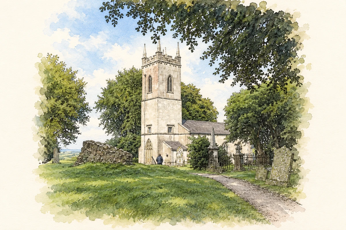
St Patrick’s Church adds a parish history to Tara’s monumental landscape, with reused medieval stonework, an antiquarian drawing and archaeological observations from its later renovation.
The name
A reliable full-name meaning has not been established here. The recorded Irish and English forms are given without an unsupported translation.
Recorded forms
- Teamhair · Irish · main form
- Tara · English · main form
Place & story
The church of 1822
The former St Patrick’s Church at Castleboy was built in 1822 under the Board of First Fruits. Its nave has three bays, while a castellated tower rises at the western end. Medieval tracery incorporated into the tower links the replacement building with its predecessor. The architectural inventory also records an east window by Evie Hone, commissioned in 1932 for the fifteen-hundredth anniversary of St Patrick’s arrival in Ireland. [2]
An antiquarian record of the earlier church
The National Library holds Daniel Grose’s pen-and-wash drawing of Tara’s church dated 16 September 1792. Its inscription identifies a view from the northwest. The catalogue records that it was engraved as plate 72 in the second volume of Francis Grose’s Antiquities of Ireland, published in 1794. The surviving drawing therefore provides a dated documentary record of the church before the nineteenth-century replacement, as well as a link between field sketching and antiquarian publication. [3]
Burials exposed during renovation
Archaeologist Rosanne Meenan supervised ground reduction around the church during its preparation as an OPW guides’ office in 1992. Six disturbed burials appeared south of the building, resting on or partly within shallow shale; the investigation supplied no date for them. Groups of bones north of the church suggested earlier collection and reburial, possibly during the 1822 rebuilding. That explanation remains a possibility in the excavation report, rather than a demonstrated chronology. [4]
Geographic information
Sources & further reading
- Logainm.ie — Tara. Place names and geographic record, licensed under CC BY 4.0.
- Hill of Tara Visitor Centre, formerly Saint Patrick’s Church:14403101 · National Inventory of Architectural Heritage
- Church of Tara, N.W.,16 September 1792: Daniel Grose drawing · National Library of Ireland
- 1992:149: St Patrick’s Church, Tara, Castleboy · Rosanne Meenan, Excavations.ie
- The former Saint Patrick's parish church at Tara, as photographed in August 2013 illustration: based on a The former St Patrick's Parish Church (CoI) at Tara by Eric Jones. AI-assisted watercolour and ink adaptation; cream paper margins added, incidental clutter omitted and fine details simplified. Licence: CC BY-SA 2.0.
Name record retrieved 2026-10-25 · Source record modified 2024-08-20. How this page was prepared.