 placenames
Dartree
Dartraí
An 1837 survey links farming conditions with household industry in two parishes.
The name
A reliable full-name meaning has not been established here. The recorded Irish and English forms are given without an unsupported translation.
Recorded forms
- Dartraí · Irish · main form · validated name
- Dartree · English · main form
Place & story
Land and livelihoods
Samuel Lewis described shallow loam over heavy clay in both Aghabog and Ematris, parishes he placed in Dartry barony. At Aghabog he stressed the need for drainage and treatment with lime and marl, while describing widespread involvement in linen manufacture. His Ematris account presented linen weaving on a smaller scale alongside agriculture. It also recorded a lending library supported by subscriptions and a charitable society supplying blankets and other necessities to poor residents. [2] [3]
Geographic information
Sources & further reading
- Logainm.ie — Dartree. Place names and geographic record, licensed under CC BY 4.0.
- Aghabog: A Topographical Dictionary of Ireland (1837) · Samuel Lewis
- Ematris: A Topographical Dictionary of Ireland (1837) · Samuel Lewis
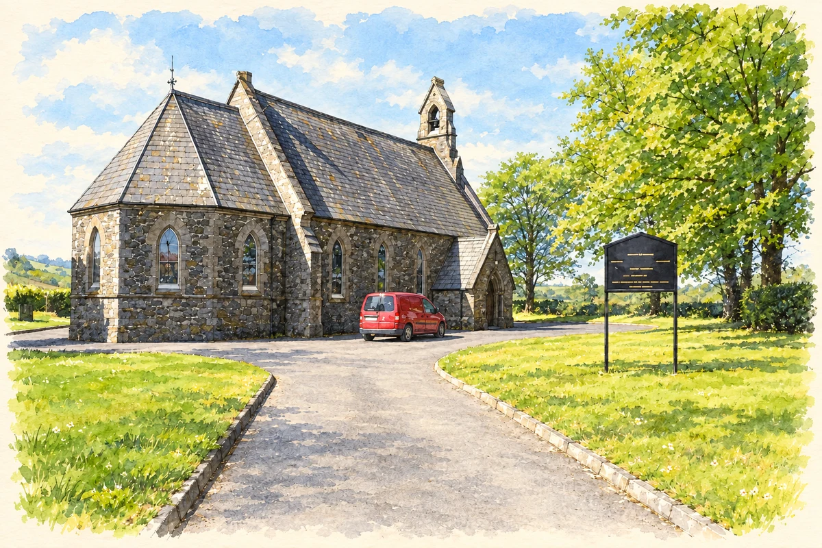
- Aghabog Church of Ireland at Crover illustration: based on a Aghabog Church of Ireland by Kenneth Allen. AI-assisted watercolour and ink adaptation; cream paper margins added, incidental clutter omitted and fine details simplified. Licence: CC BY-SA 2.0.
Name record retrieved 2026-10-25 · Source record modified 2026-09-19. How this page was prepared.