 placenames
Tooreen
An Tuairín
Tooreen is a townland in Kerry. Explore its recorded names and geographic context.
Recorded locationTooreen51.82547° N · 10.33343° WInteractive map supplied by OpenStreetMap.
Recorded place location · Logainm.ie
The name
These Irish name elements are associated with this record in the Logainm glossary.
An element’s translation is a clue, rather than a complete explanation of the name. Its form and meaning depend on local history and the full Irish name.
Recorded forms
- An Tuairín · Irish · main form · validated name
- Tooreen · English · main form
Geographic information
- Place type
- Townland
- County
- Kerry
- Barony
- Iveragh
- Civil parish
- Killemlagh
- Within
- Saint Finan's
- Coordinates
- 51.82547, -10.33343
- Mapped area
- 0.6 km²
- Logainm ID
- 22407 ↗
Sources & further reading
- Logainm.ie — Tooreen. Place names and geographic record, licensed under CC BY 4.0.
- Boundary geometry retains its source attribution and licence in the downloadable geographic record. Map tiles © OpenStreetMap contributors.
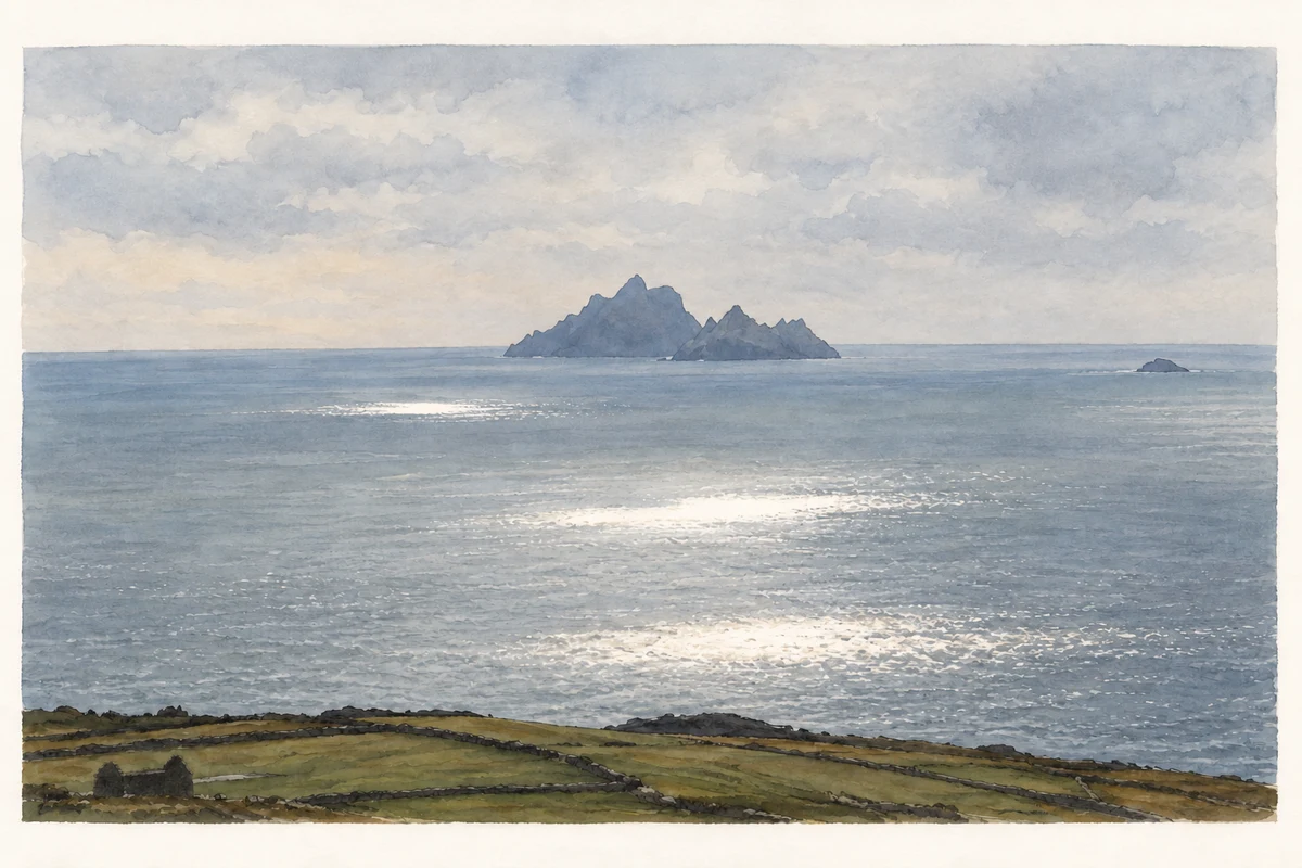
- View from Tooreen towards the Skelligs, Saint Finan's Bay, County Kerry illustration: based on a House ruin at Tooreen, Saint Finan's Bay and the Skelligs by Ulrich Hartmann. AI-assisted watercolour and ink adaptation; cream paper margins added, incidental clutter omitted and fine details simplified. Licence: CC BY-SA 2.0.
Name record retrieved 2026-10-25 · Source record modified 2025-01-10. How this page was prepared.