 placenames
1901 census
15People recorded
1Households recorded
Most frequent surnames in this year’s matched records
Explore the 1901 records ↗Oileán Inse
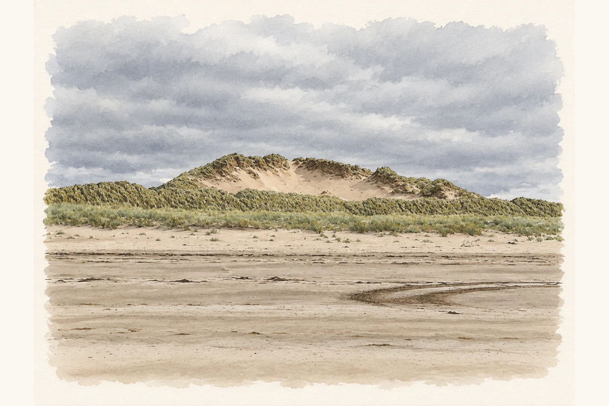
The Kerry townland occupies the sand spit projecting into Dingle Bay, where dune grassland meets wet hollows and saltmarsh.
These Irish name elements are associated with this record in the Logainm glossary.
An element’s translation is a clue, rather than a complete explanation of the name. Its form and meaning depend on local history and the full Irish name.
The National Parks and Wildlife Service’s 2011 conservation document describes Inch as an actively accumulating dune system. Its habitats range from the shore’s young dunes to established grassland and wet dune hollows, with transitions into saltmarsh. Wind has reshaped many of the high dunes into ridges. Areas of exposed sand within them form part of this continuing movement rather than necessarily indicating damage. [2]
The report identifies the damp dune hollows as habitat for natterjack toads and the rare liverwort petalwort. Choughs also use the dune system. These records concern Inch’s coastal habitats; they do not imply that each species occurs throughout the townland. [2]
Census figures refer to the matched historical census area for each year. Boundaries and spellings can change over time.
Most frequent surnames in this year’s matched records
Explore the 1901 records ↗Most frequent surnames in this year’s matched records
Most frequent surnames in this year’s matched records
Explore the 1926 records ↗Name record retrieved 2026-10-25 · Source record modified 2021-07-16. How this page was prepared.