 placenames
Fahan
Fán
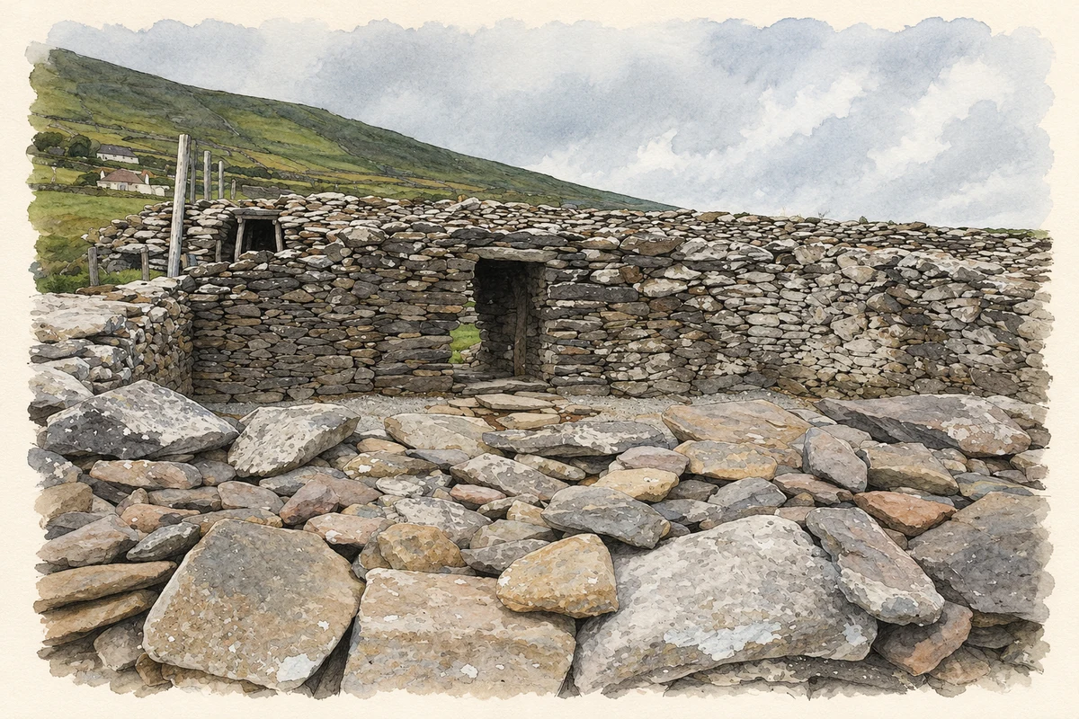
The Kerry townland contains Dunbeg promontory fort, where modern conservation work has addressed water damage.
The name
A reliable full-name meaning has not been established here. The recorded Irish and English forms are given without an unsupported translation.
Recorded forms
- Fán · Irish · main form · validated name
- Fahan · English · main form
Place & story
Floodwater and a new entrance
Laurence Dunne’s report on work at Dunbeg in 2018 records a new safety fence and entrance constructed by the Office of Public Works. A short stone wall was designed to divert floodwater into an existing drain and away from the monument. Excavation encountered ground severely scoured by the November 2017 flood. Most excavated material was recent disturbed fill, although a small possible archaeological deposit containing occasional charcoal survived at one end of the cutting. [2]
Eleven occupied houses in 1911
Fahan had seventy inhabitants in 1911, forty male and thirty female, in eleven occupied houses and one empty house. The population had been eighty-nine in 1891 and sixty-nine in 1901. The census places the townland in Ballinvoher parish, Corkaguiny barony and Ventry electoral division and dispensary district, within Dingle Poor Law Union. Its recorded area was 490 acres, two roods and five perches. [3]
Geographic information
- Place type
- Townland
- County
- Kerry
- Barony
- Corkaguiny
- Civil parish
- Ballinvoher
- Coordinates
- 52.10539, -10.41403
- Mapped area
- 1.99 km²
- Logainm ID
- 22786 ↗
Sources & further reading
- Logainm.ie — Fahan. Place names and geographic record, licensed under CC BY 4.0.
- 2018:814 Dunbeg promontory fort, Fán (Fahan), licences E005005 and C000873 · Laurence Dunne, Excavations.ie
- Census of Ireland 1911: County Kerry, Table VII, printed page 23 · His Majesty’s Stationery Office; printed by A. Thom & Company, Dublin, 1912
- Boundary geometry retains its source attribution and licence in the downloadable geographic record. Map tiles © OpenStreetMap contributors.
- Dunbeg Fort at Fahan, County Kerry illustration: based on a Dunbeg Fort by Philip Halling. AI-assisted watercolour and ink adaptation; cream paper margins added, incidental clutter omitted and fine details simplified. Licence: CC BY-SA 2.0.
Name record retrieved 2026-10-25 · Source record modified 2025-01-10. How this page was prepared.