 placenames
1901 census
38People recorded
6Households recorded
Most frequent surnames in this year’s matched records
Explore the 1901 records ↗Corclach
Tower Bridge and excavated demolition material preserve different parts of the townland’s building history.
A reliable full-name meaning has not been established here. The recorded Irish and English forms are given without an unsupported translation.
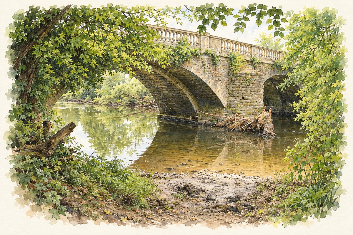
Tower Bridge spans the Dinin between Jenkinstown and Ballyrafton. Its architectural survey records a 1647 date plaque and widening around 1825, when improvements to the estate gave it a balustraded parapet and Classical detailing. Differences between the older rubble-stone archwork and the dressed limestone of the addition make the widening visible. The name recalls a turreted entrance lodge which no longer survives. [2]
Mary Henry monitored more than forty metres of service trenching at Jenkinstown House in 2021. Behind the house, she found substantial demolition material, probably used to raise ground levels after a wing was removed. An adjoining artificial slope contained imported soil and drainage. These were observations from limited trenches, rather than an excavation of the entire former house. [3]
Census figures refer to the matched historical census area for each year. Boundaries and spellings can change over time.
Most frequent surnames in this year’s matched records
Explore the 1901 records ↗Most frequent surnames in this year’s matched records
Explore the 1911 records ↗Most frequent surnames in this year’s matched records
Explore the 1926 records ↗Name record retrieved 2026-10-25 · Source record modified 2025-01-10. How this page was prepared.