 placenames
Newry
An tIúr
The parish’s Armagh townlands connect urban infrastructure, wartime occupation and an unusually early agricultural census.
The name
These Irish name elements are associated with this record in the Logainm glossary.
An element’s translation is a clue, rather than a complete explanation of the name. Its form and meaning depend on local history and the full Irish name.
Recorded forms
- An tIúr · Irish · main form
- Newry · English · main form
Place & story
Ballybot and the river crossings
Lewis’s 1837 description identifies Ballybot as the Armagh side of Newry, connected to the Down side by stone bridges and a swivel bridge. He records gas lighting introduced by a company established in 1822, alongside continuing dependence on springs and wells. His account notes that an adequate larger water-supply system had yet to be provided. [2]
Derrymore during the war
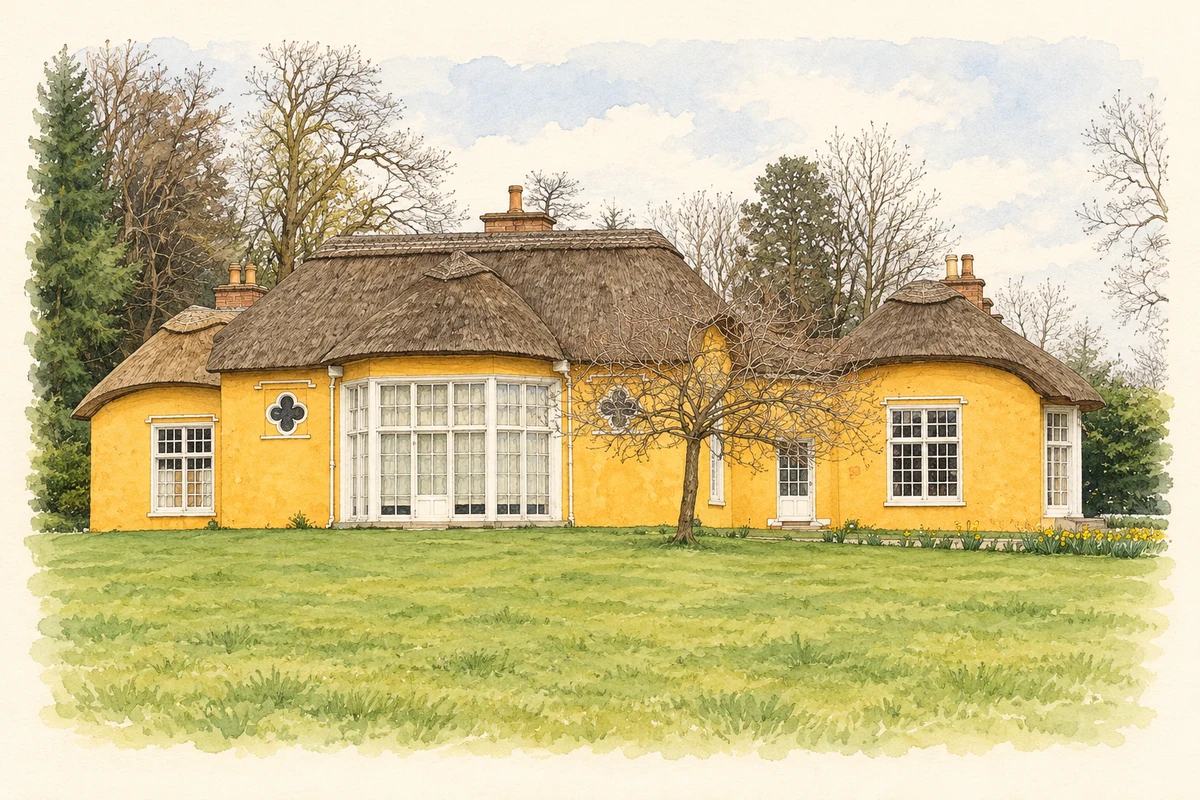
The National Trust records a U.S. Army quartermaster depot at Derrymore in 1943. Black American soldiers occupied Nissen huts on the estate under the army’s segregated arrangements. The huts were removed in 1961; their bases survived beneath the grass. [3]
An agricultural census preserved
An 1803 agricultural census of Newry parish was among the records indexed for Newry and Mourne’s ancestry project, commissioned in 2005. The Ulster Historical Foundation’s account also lists estate deeds and wills among its sources. This identifies surviving evidence for the parish’s working population without treating the project’s total of indexed names as an 1803 population count. [4]
Geographic information
- Place type
- Civil parish
- Barony
- Oneilland West
- Barony
- Orior Upper
- Coordinates
- 54.28049, -6.43414 (approximate)
- Logainm ID
- 2751 ↗
Sources & further reading
- Logainm.ie — Newry. Place names and geographic record, licensed under CC BY 4.0.
- Newry Infrastructure — Topographical Dictionary of Ireland1837 · Samuel Lewis
- The history of Derrymore House:wartime at Derrymore · National Trust
- Newry and Mourne Ancestry Project · Ulster Historical Foundation
- Derrymore House near Bessbrook, County Armagh, as photographed in March 2019 illustration: based on a Derrymore House from the South by Eric Jones. AI-assisted watercolour and ink adaptation; cream paper margins added, incidental clutter omitted and fine details simplified. Licence: CC BY-SA 2.0.
Name record retrieved 2026-10-25 · Source record modified 2023-01-13. How this page was prepared.