 placenames
1901 census
37People recorded
7Households recorded
Most frequent surnames in this year’s matched records
Explore the 1901 records ↗Baile Chaisleáin Ó mBuí
The 1911 census places this townland in Farnans electoral division.
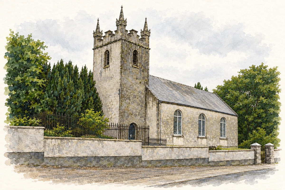
These Irish name elements are associated with this record in the Logainm glossary.
An element’s translation is a clue, rather than a complete explanation of the name. Its form and meaning depend on local history and the full Irish name.
Castletown’s 1911 entry records twenty-eight inhabitants, thirteen male and fifteen female. Eight of its nine houses were occupied and one was empty. The population had stood at thirty-eight in 1891 and thirty-seven in 1901, while house numbers changed from nine to seven and back to nine. The table places the townland in Killabban parish, Slievemargy barony and Farnans electoral division, within the Queen’s County part of Carlow Union. Its recorded area was 298 acres, one rood and twenty perches. [2]
Census figures refer to the matched historical census area for each year. Boundaries and spellings can change over time.
Most frequent surnames in this year’s matched records
Explore the 1901 records ↗Most frequent surnames in this year’s matched records
Most frequent surnames in this year’s matched records
Name record retrieved 2026-10-25 · Source record modified 2025-01-10. How this page was prepared.