 placenames
Hartley
Corr an Sparra
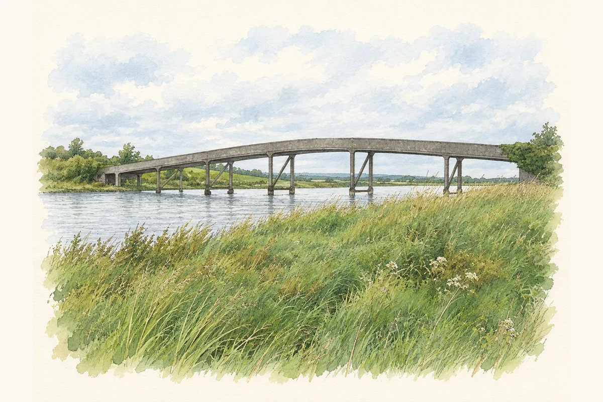
Hartley Bridge links the Leitrim townland with Cleaheen on the Roscommon bank.
The name
A reliable full-name meaning has not been established here. The recorded Irish and English forms are given without an unsupported translation.
Recorded forms
- Corr an Sparra · Irish · main form · non-validated name
- Hartley · English · main form
Place & story
A bridge between two counties
An archaeological assessment prepared in 2021 traced Hartley Bridge’s construction and opening as separate stages: the bridge was completed in 1912, while the crossing with its connecting roads opened in 1915. Roscommon and Leitrim County Councils and the Board of Works jointly financed the project. Its eastern approach is in Hartley, County Leitrim, and its western approach in Cleaheen, County Roscommon. [2]
Looking beneath the water
Mizen Archaeology’s dive survey in June 2019 examined the river crossing upstream and downstream of the bridge. Visibility was generally limited to about one metre. Divers found a riverbed covered with water-worn limestone cobbles, sediment around the bridge piers and stone blocks apparently placed to protect the eastern bank. Modern debris, particularly near the western bank, included bottles, ceramic jars and fishing equipment. [2]
Geographic information
- Place type
- Townland
- County
- Leitrim
- Barony
- Leitrim
- Civil parish
- Kiltoghert
- Coordinates
- 53.96804, -8.08864
- Mapped area
- 1.08 km²
- Logainm ID
- 29163 ↗
Sources & further reading
- Logainm.ie — Hartley. Place names and geographic record, licensed under CC BY 4.0.
- Proposed Bridge Replacement, Hartley Bridge: Archaeological Impact Assessment, September 2021, pages 6, 22–26 and 30–36 · Mizen Archaeology; assessment directed by Julianna O’Donoghue; prepared for Leitrim County Council
- Boundary geometry retains its source attribution and licence in the downloadable geographic record. Map tiles © OpenStreetMap contributors.
- Hartley Bridge over the Shannon in August 2008 illustration: based on a Hartley Bridge by Brian Shaw. AI-assisted watercolour and ink adaptation; cream paper margins added, incidental clutter omitted and fine details simplified. Licence: CC BY-SA 2.0.
Name record retrieved 2026-10-25 · Source record modified 2025-01-10. How this page was prepared.