 placenames
Clogher
Clochar
Augher’s planned market town and the prehistoric chamber at Knockmany reveal different periods in the history of Clogher barony.
The name
These Irish name elements are associated with this record in the Logainm glossary.
An element’s translation is a clue, rather than a complete explanation of the name. Its form and meaning depend on local history and the full Irish name.
Recorded forms
- Clochar · Irish · main form
- Clogher · English · main form
Place & story
Land set aside for a new borough
Lewis’s 1837 history places Augher within Clogher barony and describes the terms of Thomas Ridgway’s early-seventeenth-century grant. The settlement was to accommodate twenty English or Scottish tradesmen, with sites provided for a market, school and churchyard. His account of Pynnar’s 1619 report records sixteen stone houses occupied by burgesses, each with land and grazing rights. The borough’s plan combined settlement, trade and political representation. [2]
The market house serves several purposes
By 1837, Augher’s Monday market was trading oats, while monthly fairs handled livestock and other goods. Lewis records the market house as the town’s sole public building and also its Sunday place of worship. A boys’ school stood on land granted from Commons Hill, supported through subscriptions and small pupil payments. These arrangements show commerce, education and worship sharing the limited buildings and common ground of a small town. [2]
Knockmany’s carved chamber stones
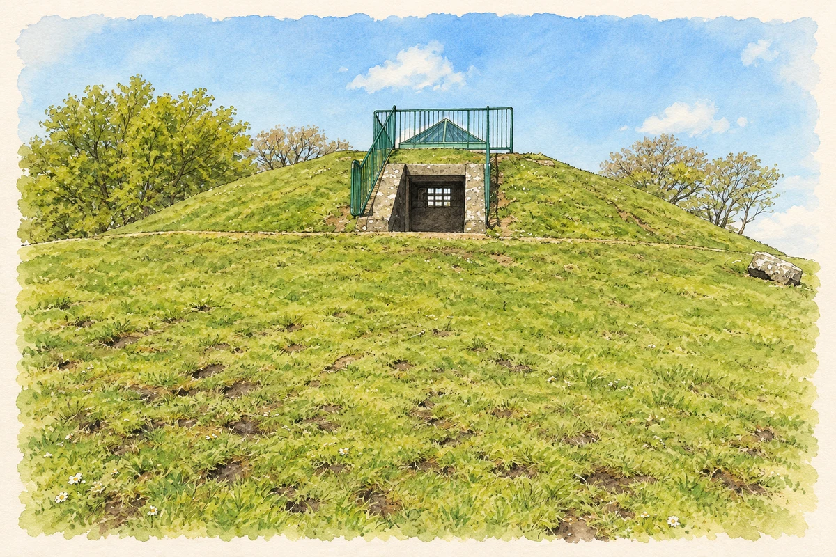
Knockmany’s prehistoric burial chamber preserves stones carved with circles, spirals and zigzags. The Historic Environment Division’s visitor account explains that excavation found evidence for an original covering of stone and earth enclosed by a stone revetment. The protective cairn visible today is modern. Despite its classification as a passage grave, the monument lacks the passage associated with the classic form of that tomb type. [3]
Geographic information
Sources & further reading
- Logainm.ie — Clogher. Place names and geographic record, licensed under CC BY 4.0.
- Augher, A Topographical Dictionary of Ireland 1837 · Samuel Lewis
- Knockmany Passage Grave · Tourism Northern Ireland; Historic Environment Division site information
- The modern protective cairn at Knockmany chambered tomb, County Tyrone, as photographed in May 2012 illustration: based on a Knockmany chambered cairn by Kenneth Allen. AI-assisted watercolour and ink adaptation; cream paper margins added, incidental clutter omitted and fine details simplified. Licence: CC BY-SA 2.0. Additional reference: Chambered cairn, Knockmany interior view by Kenneth Allen, CC BY-SA 2.0.
Name record retrieved 2026-10-25 · Source record modified 2008-09-04. How this page was prepared.