A reliable full-name meaning has not been established here. The recorded Irish and English forms are given without an unsupported translation.
Recorded forms
Áth Dara· Irish · main form · validated name
Adare· English · main form
Place & story
Guarding movement on the Maigue
Adare Castle stands beside the River Maigue, where its occupants could oversee movement towards the Shannon Estuary. A square keep forms the central defensive structure, enclosed within a walled ward and moat. The castle passed through several hands before becoming a Desmond stronghold in the sixteenth century. Its surviving walls reveal the practical importance of the river crossing, alongside the more picturesque views that now make the castle part of Adare's familiar landscape.[2]
People & connections
The Dunravens' village
Much of the present village took shape in the early nineteenth century through the Earl of Dunraven's estate development. The thatched cottages along Main Street were built for workers engaged in constructing Adare Manor. Their small scale contrasts with the neo-Gothic mansion and its extensive parkland. Together, the village houses and great house preserve two connected parts of the same enterprise: the estate's monumental architecture and the accommodation of the people whose work helped bring it into being.[3]
The Trinitarian abbey returns to worship
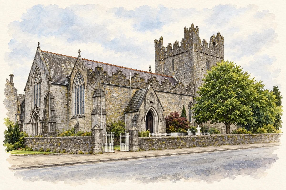
The Trinitarian monastery is a distinctive survival among Adare's religious buildings, representing the order's only known Irish house. Suppression under Henry VIII brought destruction, but the Earl of Dunraven later supported its restoration. The former abbey became the Roman Catholic parish church in the village centre. Its renewed use gives a different outcome from the nearby roofless monuments, retaining a direct relationship between the medieval site and the worshipping community of later Adare.[4]
Folklore & tradition
The bull at the ford
Westropp recorded in 1916 a tradition already associated with Adare in 1830. In it, Patrick pursues a supernatural bull from Carrigogunnell to the ford on the Maigue and destroys it there. The story explained a local rendering of the name as the ford of the bull. Its route connects the river crossing with another dramatic landmark in the surrounding Limerick landscape.[5]
Both counts use the 2016 settlement boundary, allowing like-for-like comparison. CSO supplies the 2022 count on this older boundary for comparison only. The official 2022 Built Up Area has different boundaries.
View population figures
Adare — Census 2016 settlement footprint — census population
These are the historical areas published in the 2006 census report. Boundaries may differ between censuses and from modern settlements. Legal towns, environs and suburbs are shown separately; none has been combined into a modern settlement total.
View population figures
Adare, Limerick — Census town, CSO 2006 report — census population
These are the historical areas published in the 1996 census report. Boundaries may differ between censuses and from modern settlements. Legal towns, environs and suburbs are shown separately; none has been combined into a modern settlement total.
View population figures
Adare, Limerick — Census town, CSO 1996 report — census population
Figures cover the historical town area printed in the 1986 report. Boundaries may have changed between censuses. Legal town, environs and suburb totals remain separate and differ from modern settlement boundaries.
View population figures
Adare, Limerick — Census town, CSO 1986 report — census population
These figures use different area definitions. Read the boundary note before comparing them.
Adare, Limerick
Published census settlement populations
1,129people · 2016
Settlement boundaries changed during this period. Differences may reflect boundary changes as well as population change. Where a 2011 legal-town-and-environs count is shown, it has not been recalculated onto the 2016 settlement boundary.
Holy Trinity Abbey Church, Adare, County Limerick illustration: based on a Holy Trinity Abbey Church, Adare by Gerald England. AI-assisted watercolour and ink adaptation; cream paper margins added, incidental clutter omitted and fine details simplified. Licence: CC BY-SA 2.0.
 placenames