These Irish name elements are associated with this record in the Logainm glossary.
An element’s translation is a clue, rather than a complete explanation of the name. Its form and meaning depend on local history and the full Irish name.
Recorded forms
Áth an tSléibhe· Irish · main form · validated name
Áth Té· Irish · main form · historical name
Athea· English · main form
Place & story
Folklore & tradition
The giant remembered in bronze
Limerick’s Slí na Sláinte guide records the Athea Giant legend: a giant carried his dead mother towards the graveyard, but parts of her body fell across the surrounding country. The guide presents local names such as Drommadda and Lurriga as explanations within that story. These are legendary associations, rather than demonstrated place-name etymologies. Jim Flavin’s sculpture in the Giant’s Garden represents the giant’s footprints and his mother’s bones in bronze, giving the tradition a physical place in the village.[2]
The Con Colbert Memorial Hall
The Con Colbert Memorial Hall shares the Giant’s Garden grounds. The walking guide connects its construction with the fiftieth anniversary of the Easter Rising and records its formal opening by President Erskine Childers in 1974. The hall is also the starting point for the 5.3-kilometre village walking circuit, which links the centre with Templeathea graveyard, the Blessed Well and the surrounding roads.[2]
People & connections
Kevin Danaher’s early education
Folklorist Caoimhín Ó Danachair, also known as Kevin Danaher, attended Athea national school before Mungret College and University College Dublin. Both his parents were primary teachers. He joined the Irish Folklore Commission in 1940 and later lectured in Irish folklore at UCD. In 1948 he recorded native Manx speakers on the Isle of Man. His school connection places Athea within the biography of a scholar whose work extended far beyond West Limerick.[3]
Both counts use the 2016 settlement boundary, allowing like-for-like comparison. CSO supplies the 2022 count on this older boundary for comparison only. The official 2022 Built Up Area has different boundaries.
View population figures
Athea — Census 2016 settlement footprint — census population
These are the historical areas published in the 2006 census report. Boundaries may differ between censuses and from modern settlements. Legal towns, environs and suburbs are shown separately; none has been combined into a modern settlement total.
View population figures
Athea, Limerick — Census town, CSO 2006 report — census population
These are the historical areas published in the 1996 census report. Boundaries may differ between censuses and from modern settlements. Legal towns, environs and suburbs are shown separately; none has been combined into a modern settlement total.
View population figures
Athea, Limerick — Census town, CSO 1996 report — census population
Figures cover the historical town area printed in the 1986 report. Boundaries may have changed between censuses. Legal town, environs and suburb totals remain separate and differ from modern settlement boundaries.
View population figures
Athea, Limerick — Census town, CSO 1986 report — census population
These figures use different area definitions. Read the boundary note before comparing them.
Athea, Limerick
Published census settlement populations
369people · 2016
Settlement boundaries changed during this period. Differences may reflect boundary changes as well as population change. Where a 2011 legal-town-and-environs count is shown, it has not been recalculated onto the 2016 settlement boundary.
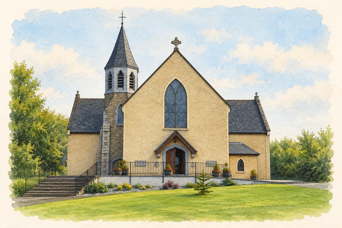
St Bartholomew’s Church, Athea illustration: based on a Athea church by Nephinlodge. AI-assisted watercolour and ink adaptation; cream paper margins added, incidental clutter omitted and fine details simplified. Licence: CC0 1.0; source photograph dedicated to the public domain.
 placenames