 placenames
1901 census
No verified place match is available for this year. This does not indicate a population of zero.
An Liagán
The Ordnance Survey name book records the townland’s cultivated landscape in the nineteenth century.
These Irish name elements are associated with this record in the Logainm glossary.
An element’s translation is a clue, rather than a complete explanation of the name. Its form and meaning depend on local history and the full Irish name.
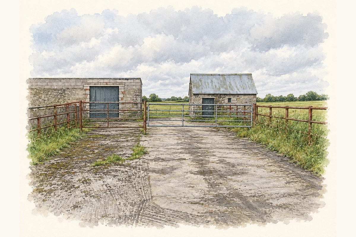
The name-book entry for Legan places the townland northwest of the road between Abbeyshrule and Legan village. It describes the land as cultivated and records three ancient forts and a limestone quarry. The Countess Dowager of Rosse was named as proprietor. These are observations preserved in the early survey record, rather than a claim that all three earthworks or the quarry remain visible today. [2]
Census figures refer to the matched historical census area for each year. Boundaries and spellings can change over time.
No verified place match is available for this year. This does not indicate a population of zero.
Most frequent surnames in this year’s matched records
Explore the 1911 records ↗Most frequent surnames in this year’s matched records
Explore the 1926 records ↗Name record retrieved 2026-10-25 · Source record modified 2025-01-10. How this page was prepared.