 placenames
Carbery East (W.D.)
Cairbrigh Thoir (an Roinn Thiar)
Rosscarbery’s changing trades joined farming, fishing and nearby milling.
The name
A reliable full-name meaning has not been established here. The recorded Irish and English forms are given without an unsupported translation.
Recorded forms
- Cairbrigh Thoir (an Roinn Thiar) · Irish · main form · validated name
- Carbery East (W.D.) · English · main form
Place & story
Work around the market town
Samuel Lewis placed Rosscarbery town wholly within East Carbery’s western division in 1837, while its parish extended into another barony. He described a decline in coarse-linen manufacture, with farming and fishing becoming the principal occupations. Nearby, Mr. Lloyd’s flour mills reportedly produced more than five thousand barrels of fine flour each year. A Wednesday market and livestock fairs added trading occasions to this economy of agricultural processing and coastal work. [2]
Geographic information
Sources & further reading
- Logainm.ie — Carbery East (W.D.). Place names and geographic record, licensed under CC BY 4.0.
- Rosscarbery: A Topographical Dictionary of Ireland (1837) · Samuel Lewis
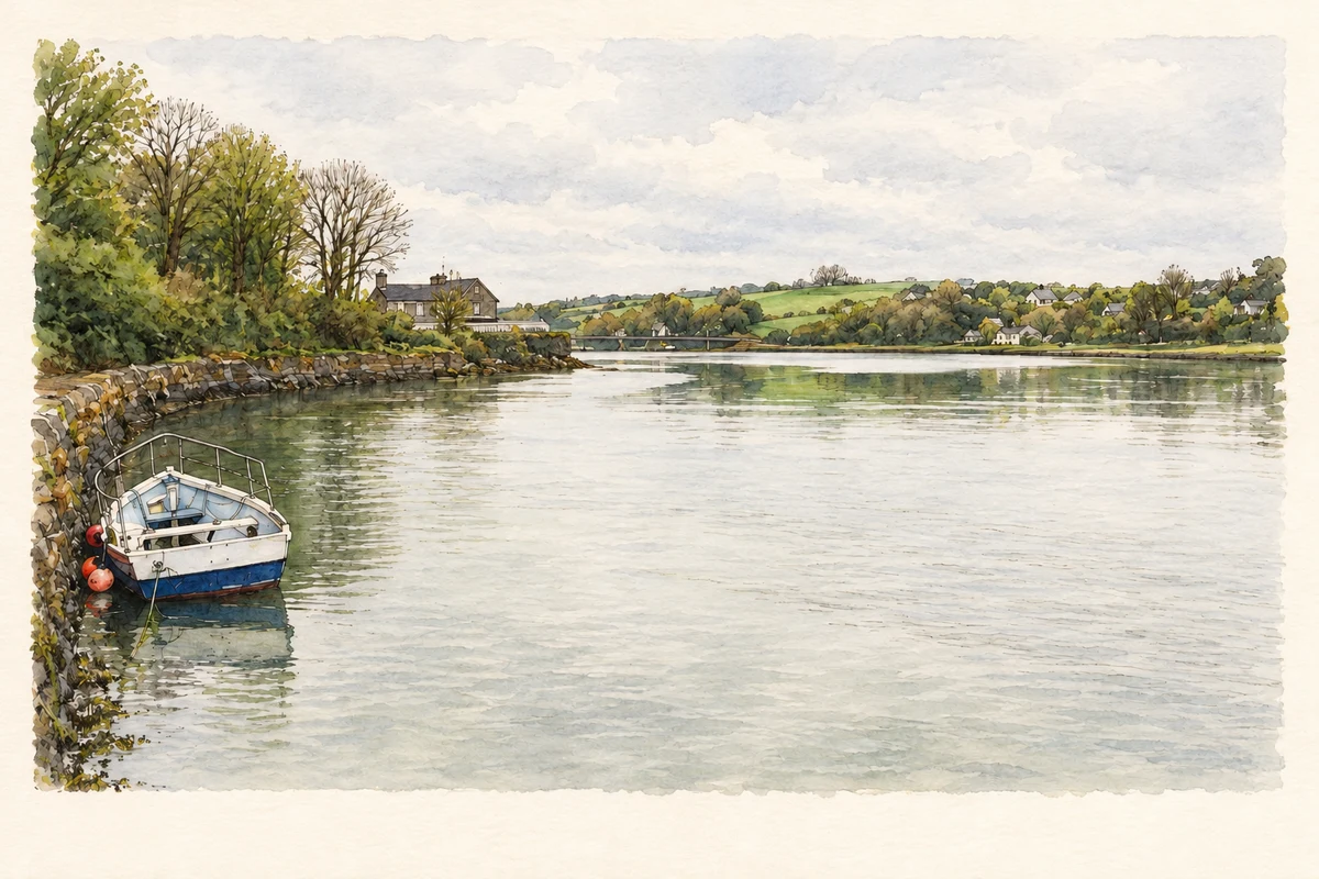
- Rosscarbery inlet at high tide illustration: based on a The Rosscarbery inlet by Gordon Hatton. AI-assisted watercolour and ink adaptation; cream paper margins added, incidental clutter omitted and fine details simplified. Licence: CC BY-SA 2.0.
Name record retrieved 2026-10-25 · Source record modified 2025-01-10. How this page was prepared.