 placenames
Doolough
Dumha Locha
The Mayo townland near Geesala has a census history distinct from the Doolough valley farther south.
The name
These Irish name elements are associated with this record in the Logainm glossary.
An element’s translation is a clue, rather than a complete explanation of the name. Its form and meaning depend on local history and the full Irish name.
Recorded forms
- Dumha Locha · Irish · main form · validated name
- Doolough · English · main form
Place & story
Fifty-one occupied houses in 1901
Doolough had 317 inhabitants in 1901, 146 male and 171 female. All fifty-one recorded houses were occupied. The comparison columns give 377 inhabitants in 1881 and 321 in 1891. Listed in Kilcommon parish and Erris barony, the townland belonged to Rath Hill electoral division, Bangor dispensary district and Belmullet Poor Law Union. [2]
Courses on the strand
Documents for the 2024 Geesala Festival identify separate horse and greyhound courses on Doolough Beach: one mile and six furlongs for horses, and 350 metres for dogs. The Maritime Area Regulatory Authority granted consent for the two-day event on 17 and 18 August. Its caseworker’s report describes the race meetings as part of fundraising for Geesala’s community centre. These records document the approved event, rather than proving that every planned race took place. [3] [4]
Geographic information
Sources & further reading
- Logainm.ie — Doolough. Place names and geographic record, licensed under CC BY 4.0.
- Census of Ireland 1901: County Mayo, Table VII, printed page 33; published 1902 · His Majesty’s Stationery Office; printed by Alexander Thom & Co., Limited, Dublin, 1902
- Caseworker Report MAC240035, draft 15 August 2024, background and map · Maritime Area Regulatory Authority
- Maritime Area Consent MAC240035: Geesala Festival Doolough Beach Races, particulars schedule; executed 16 August 2024 · Maritime Area Regulatory Authority
- Boundary geometry retains its source attribution and licence in the downloadable geographic record. Map tiles © OpenStreetMap contributors.
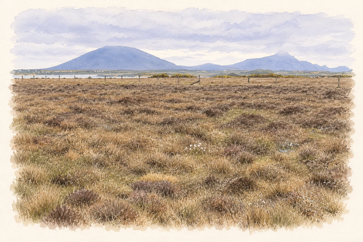
- Peatland off the Doolough road in Erris, with Achill hills beyond, County Mayo illustration: based on a Peat bog off the Doolough/Dumha Locha road by Oliver Dixon. AI-assisted watercolour and ink adaptation; cream paper margins added, incidental clutter omitted and fine details simplified. Licence: CC BY-SA 2.0.
Name record retrieved 2026-10-25 · Source record modified 2025-01-10. How this page was prepared.