 placenames
Carbery West (W.D.)
Cairbrigh Thiar (an Roinn Thiar)
An 1837 account records quarries supplying markets across the Irish Sea.
The name
A reliable full-name meaning has not been established here. The recorded Irish and English forms are given without an unsupported translation.
Recorded forms
- Cairbrigh Thiar (an Roinn Thiar) · Irish · main form · validated name
- Carbery West (W.D.) · English · main form
Place & story
Quarries by Roaringwater Bay
Samuel Lewis recorded slate quarrying at Audley’s Cove and Tilemuck in Skull parish, within West Carbery’s western division. The West Cork Mining Company opened these workings in 1835; his 1837 account reported employment for five hundred men and shipments to London and other English markets. Nearby creeks offered access for exporting mineral products. The account captures an early industrial venture within a coastal district where farming and quarrying occupied very different parts of the landscape. [2]
Geographic information
Sources & further reading
- Logainm.ie — Carbery West (W.D.). Place names and geographic record, licensed under CC BY 4.0.
- Skull: A Topographical Dictionary of Ireland (1837) · Samuel Lewis
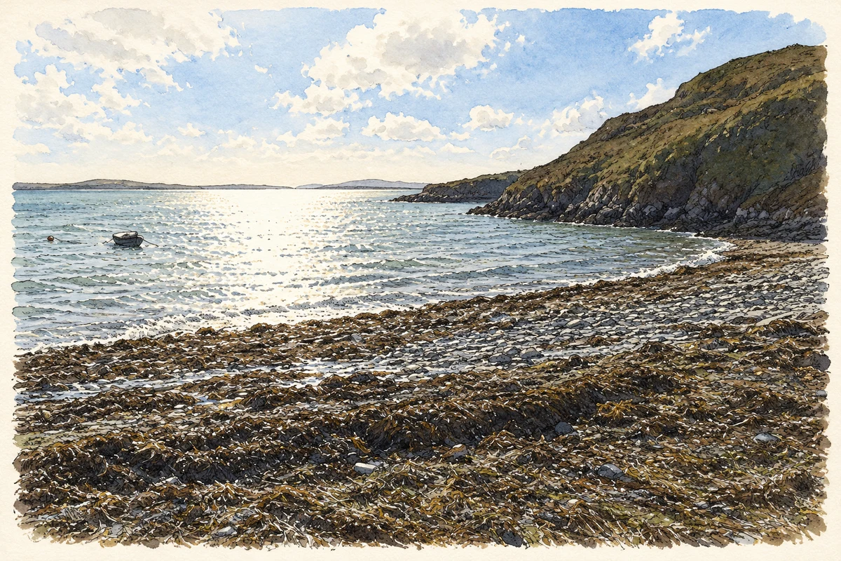
- Audley Cove beach below Cappaghglass illustration: based on a Beach at Audley Cove - Cappaghglass Townland by Mac McCarron. AI-assisted watercolour and ink adaptation; cream paper margins added, incidental clutter omitted and fine details simplified. Licence: CC BY-SA 2.0.
Name record retrieved 2026-10-25 · Source record modified 2026-09-19. How this page was prepared.