 placenames
Mornington
Baile Uí Mhornáin
The townland extends south to a pair of modest nineteenth-century homes near Bettystown.
The name
These Irish name elements are associated with this record in the Logainm glossary.
An element’s translation is a clue, rather than a complete explanation of the name. Its form and meaning depend on local history and the full Irish name.
Recorded forms
- Baile Uí Mhornáin · Irish · main form
- Mornington · English · main form
Place & story
A pair of houses
On Golf Links Road, in the southern part of Mornington townland near Bettystown, the National Inventory of Architectural Heritage records two thatched houses dating from about 1850. Each has a low, single-storey form and a projecting entrance porch. The survey notes timber sash windows and battened wooden doors. A boundary wall and two wrought-iron gates enclose their frontage. [2]
Geographic information
- Place type
- Townland
- County
- Meath
- Barony
- Duleek Lower
- Civil parish
- Colp
- Coordinates
- 53.71991, -6.26976
- Mapped area
- 4.96 km²
- Logainm ID
- 38484 ↗
Sources & further reading
- Logainm.ie — Mornington. Place names and geographic record, licensed under CC BY 4.0.
- Golf Links Road thatched houses, registration14316019, Meath survey2002 · National Inventory of Architectural Heritage
- Boundary geometry retains its source attribution and licence in the downloadable geographic record. Map tiles © OpenStreetMap contributors.
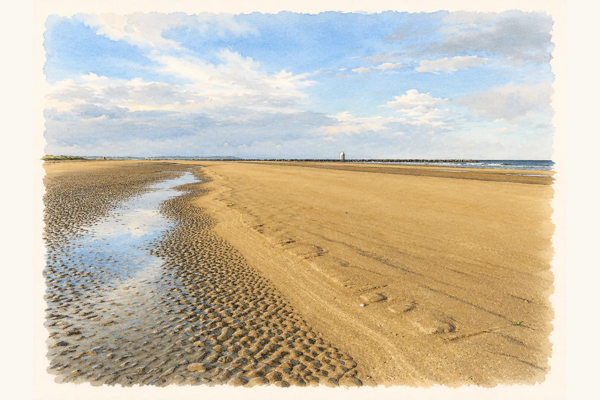
- Mornington Strand at low tide, County Meath illustration: based on a Mornington Strand, Co. Meath by Kieran Campbell. AI-assisted watercolour and ink adaptation; cream paper margins added, incidental clutter omitted and fine details simplified. Licence: CC BY-SA 2.0.
Name record retrieved 2026-10-25 · Source record modified 2026-07-03. How this page was prepared.