 placenames
1901 census
36People recorded
9Households recorded
Most frequent surnames in this year’s matched records
Explore the 1901 records ↗Baile an Cheantaigh
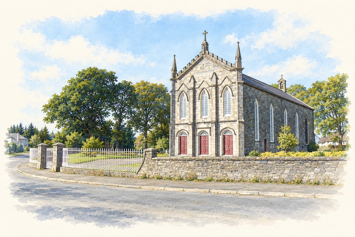
The Catholic church’s carved limestone front distinguishes it from the townland’s separate Church of Ireland building.
These Irish name elements are associated with this record in the Logainm glossary.
An element’s translation is a clue, rather than a complete explanation of the name. Its form and meaning depend on local history and the full Irish name.
The National Inventory of Architectural Heritage records the Church of the Assumption as a gable-fronted church built around 1844; a plaque above its front door carries that year. Three Tudor-arched entrances stand beneath a pointed window with tracery. Buttresses, pinnacles and battlement-like detailing give the limestone entrance front a more elaborate finish than the roughly dressed stone side walls. A graveyard lies to the east, with limestone gate piers and iron gates forming part of the setting. [2]
Census figures refer to the matched historical census area for each year. Boundaries and spellings can change over time.
Most frequent surnames in this year’s matched records
Explore the 1901 records ↗Most frequent surnames in this year’s matched records
Explore the 1911 records ↗Most frequent surnames in this year’s matched records
Explore the 1926 records ↗Name record retrieved 2026-10-25 · Source record modified 2026-07-02. How this page was prepared.