 placenames
Lurgan
An Lorgain
The Cavan parish combined a substantial lakeshore landscape with a dispersed network of schools before the Great Famine.
The name
These Irish name elements are associated with this record in the Logainm glossary.
An element’s translation is a clue, rather than a complete explanation of the name. Its form and meaning depend on local history and the full Irish name.
Recorded forms
- An Lorgain · Irish · main form · non-validated name
- Lurgan · English · main form
Place & story
Water, bog and changing church districts
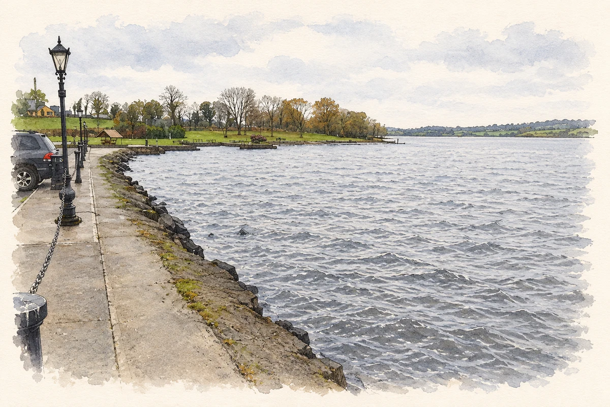
Lewis’s 1837 description of Lurgan parish recorded more than 922 acres of water, mostly in Lough Ramor, alongside a substantial area of bog and moor. He also noted that two townlands had been detached in 1831 to help form the ecclesiastical district of Ballyjamesduff. This describes a change in church provision rather than the foundation of Lurgan itself. [2]
Schools beyond Virginia
National schools at Whitegate, Caponagh and Lattoon, together with a subscription-supported school, educated about 360 children in Lewis’s account. Four private schools taught roughly another 290. These parish-wide figures preserve a picture of education beyond Virginia’s town buildings, with several small centres serving the surrounding countryside. [2]
Geographic information
- Place type
- Civil parish
- County
- Cavan
- Barony
- Castlerahan
- Coordinates
- 53.84353, -7.09673
- Mapped area
- 45.83 km²
- Logainm ID
- 391 ↗
Sources & further reading
- Logainm.ie — Lurgan. Place names and geographic record, licensed under CC BY 4.0.
- Lurgan, Cavan — A Topographical Dictionary of Ireland (1837) · Samuel Lewis
- Lough Ramor from the Virginia waterfront, County Cavan, as photographed in November 2007 illustration: based on a Lough Ramor by Jonathan Billinger. AI-assisted watercolour and ink adaptation; cream paper margins added, incidental clutter omitted and fine details simplified. Licence: CC BY-SA 2.0.
Name record retrieved 2026-10-25 · Source record modified 2026-08-13. How this page was prepared.