 placenames
1901 census
227People recorded
43Households recorded
Most frequent surnames in this year’s matched records
- Madden 16
- Coyne 12
- Fitzgerald 10
- Carty 9
- Murphy 9
Baile an Locha
The Kiltullagh townland shares its name with the neighbouring village, whose community has developed new ways to explore Lough O’Flynn.
These Irish name elements are associated with this record in the Logainm glossary.
An element’s translation is a clue, rather than a complete explanation of the name. Its form and meaning depend on local history and the full Irish name.
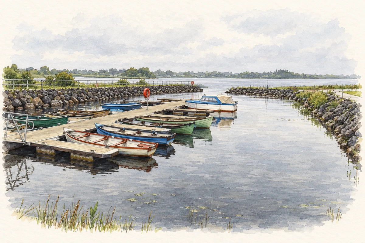
At nearby Lough O’Flynn, Ballinlough Granlahan Heritage Group developed a three-dimensional animation and an interactive environment exploring the lake’s crannog. Heritage Council funding supported the project. The group describes a model extending across two kilometres by two kilometres, using aerial survey imagery and terrain data. Its medieval buildings and activities are an interpretative reconstruction, rather than a surviving view of the island. The project offers a way to imagine a local archaeological landmark whose wooden stakes can still be seen through the water. [2]
On 24 February 2012, Inland Fisheries Ireland launched its Lough O’Flynn and Upper Suck angling guide at Ballinlough’s Old Stonehouse Restaurant. The occasion also marked the retirement of assistant inspector John Ryan after forty-one years of service. The agency’s contemporary report placed the lake about two kilometres from Ballinlough. [3]
Census figures refer to the matched historical census area for each year. Boundaries and spellings can change over time.
Most frequent surnames in this year’s matched records
Most frequent surnames in this year’s matched records
Explore the 1911 records ↗No verified place match is available for this year. This does not indicate a population of zero.
Name record retrieved 2026-10-25 · Source record modified 2013-09-05. How this page was prepared.