These Irish name elements are associated with this record in the Logainm glossary.
An element’s translation is a clue, rather than a complete explanation of the name. Its form and meaning depend on local history and the full Irish name.
Recorded forms
Béal Tairbirt· Irish · main form · validated name
Belturbet· English · main form
Place & story
Along the Erne
Lewis’s 1837 account places Belturbet on the Erne and the road from Cavan to Ballyconnell. Water connected it through Lough Erne towards Ballyshannon, although he notes shoals interrupting navigation in dry weather. That qualification matters: a navigable river was not necessarily an unrestricted route in every season. His report of a three-arched bridge under construction similarly captures a specific moment in the crossing’s history, rather than an unchanging landscape.[2]
A planned borough
The directory traces negotiations with Sir Stephen Butler from 1610, incorporation in 1613 and a further grant of lands and trading privileges in 1618. Its account of the settlement includes houses, gardens, grazing rights and obligations to use the lord’s mill. These details make the borough more than a collection of buildings. It was also an arrangement governing land, work and the duties expected of its inhabitants during the Ulster plantation.[2]
A town clerk’s rescue
Belturbet’s surviving corporation records narrowly escaped destruction during a wastepaper drive in the 1940s. Edward O’Reilly, a former town clerk, saved them; Father Owen Francis Traynor later deposited groups of documents in the Public Record Office in 1954 and 1956. The National Archives returned them to County Cavan in 2006. This chain of custody explains why detailed evidence of the town’s earlier administration survives. It is also a local story of preservation involving named people, rather than an assumption that institutional records passed safely from one archive to another.[3]
Dunghills, turf and an unruly freeman
The archive catalogue gives unusually vivid examples from the early minute books. An order of December 1657 concerns the common and turf cutting. Entries from March 1661 record complaints about dunghills, holes and encroaching porches in the streets. In August 1662 the corporation committed the freeman John Craffton to its marshal after he insulted the town’s freemen and jury. These are recorded acts of local government, not humorous stories collected centuries later. They reveal the practical regulation of shared space and the sensitivity of civic authority alongside the more formal history of charters and trading privileges.[4]
Both counts use the 2016 settlement boundary, allowing like-for-like comparison. CSO supplies the 2022 count on this older boundary for comparison only. The official 2022 Built Up Area has different boundaries.
View population figures
Belturbet — Census 2016 settlement footprint — census population
Belturbet Legal Town, Cavan — Legal town, CSO 2006 report
2002–2006: legal town
1,395people · 2006
These are the historical areas published in the 2006 census report. Boundaries may differ between censuses and from modern settlements. Legal towns, environs and suburbs are shown separately; none has been combined into a modern settlement total.
View population figures
Belturbet Legal Town, Cavan — Legal town, CSO 2006 report — census population
Belturbet Environs, Cavan — Town environs only, CSO 2006 report
2002–2006: town environs only
16people · 2006
These are the historical areas published in the 2006 census report. Boundaries may differ between censuses and from modern settlements. Legal towns, environs and suburbs are shown separately; none has been combined into a modern settlement total.
View population figures
Belturbet Environs, Cavan — Town environs only, CSO 2006 report — census population
Belturbet Legal Town, Cavan — Legal town, CSO 1996 report
1991–1996: legal town
1,248people · 1996
These are the historical areas published in the 1996 census report. Boundaries may differ between censuses and from modern settlements. Legal towns, environs and suburbs are shown separately; none has been combined into a modern settlement total.
View population figures
Belturbet Legal Town, Cavan — Legal town, CSO 1996 report — census population
Figures cover the historical town area printed in the 1986 report. Boundaries may have changed between censuses. Legal town, environs and suburb totals remain separate and differ from modern settlement boundaries.
View population figures
Belturbet, Cavan — Legal town, CSO 1986 report — census population
These figures use different area definitions. Read the boundary note before comparing them.
Belturbet, Cavan — 2011 legal town and environs; 2016 census settlement
Published census settlement populations
1,369people · 2016
Settlement boundaries changed during this period. Differences may reflect boundary changes as well as population change. Where a 2011 legal-town-and-environs count is shown, it has not been recalculated onto the 2016 settlement boundary.
View population figures
Belturbet, Cavan — 2011 legal town and environs; 2016 census settlement — census population
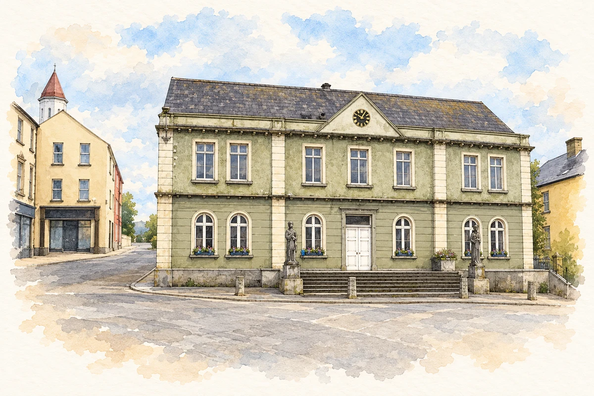
Belturbet Town Hall, County Cavan illustration: based on a Belturbet Town Hall by Kenneth Allen. AI-assisted watercolour and ink adaptation; cream paper margins added, incidental clutter omitted and fine details simplified. Licence: CC BY-SA 2.0.
 placenames