 placenames
Curraghduff
An Chorr Dhubh
The original return records a large Waterford townland separately from its Mothel namesake.
The name
These Irish name elements are associated with this record in the Logainm glossary.
An element’s translation is a clue, rather than a complete explanation of the name. Its form and meaning depend on local history and the full Irish name.
Recorded forms
- An Chorr Dhubh · Irish · main form · validated name
- Curraghduff · English · main form
Place & story
One house marked uninhabited
The 1911 census lists one house in Curraghduff and marks it as uninhabited. Its earlier population columns record eight people in 1891 and six in 1901, with one house in each of those years. The townland was entered under Rathgormuck parish and electoral division, in Upperthird barony and Carrick-on-Suir Union. Its recorded area was 1,706 acres, two roods and four perches. The table does not explain when the house became empty or why. [2]
Geographic information
- Place type
- Townland
- County
- Waterford
- Barony
- Glenahiry
- Barony
- Upperthird
- Civil parish
- Rathgormuck
- Within
- Rathgormuck
- Coordinates
- 52.25655, -7.58000
- Mapped area
- 6.85 km²
- Logainm ID
- 49148 ↗
Sources & further reading
- Logainm.ie — Curraghduff. Place names and geographic record, licensed under CC BY 4.0.
- Census of Ireland1911: County and City of Waterford, printed p8 · His Majesty’s Stationery Office; printed by A. Thom & Company, Dublin, 1912
- Boundary geometry retains its source attribution and licence in the downloadable geographic record. Map tiles © OpenStreetMap contributors.
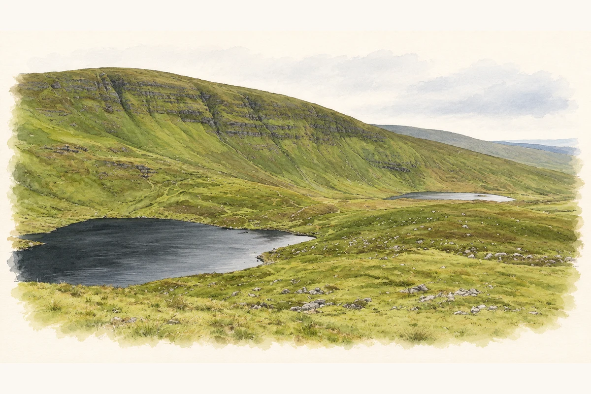
- Sgilloge Loughs below Curraghduff, Comeragh Mountains, County Waterford illustration: based on a Sgilloge Loughs below Curraghduff by Colin Park. AI-assisted watercolour and ink adaptation; cream paper margins added, incidental clutter omitted and fine details simplified. Licence: CC BY-SA 2.0.
Name record retrieved 2026-10-25 · Source record modified 2025-01-10. How this page was prepared.