 placenames
1901 census
No verified place match is available for this year. This does not indicate a population of zero.
Dún na Mainistreach
Devonshire Bridge and the adjoining causeway changed the way Abbeyside and Dungarvan met across the estuary.
These Irish name elements are associated with this record in the Logainm glossary.
An element’s translation is a clue, rather than a complete explanation of the name. Its form and meaning depend on local history and the full Irish name.
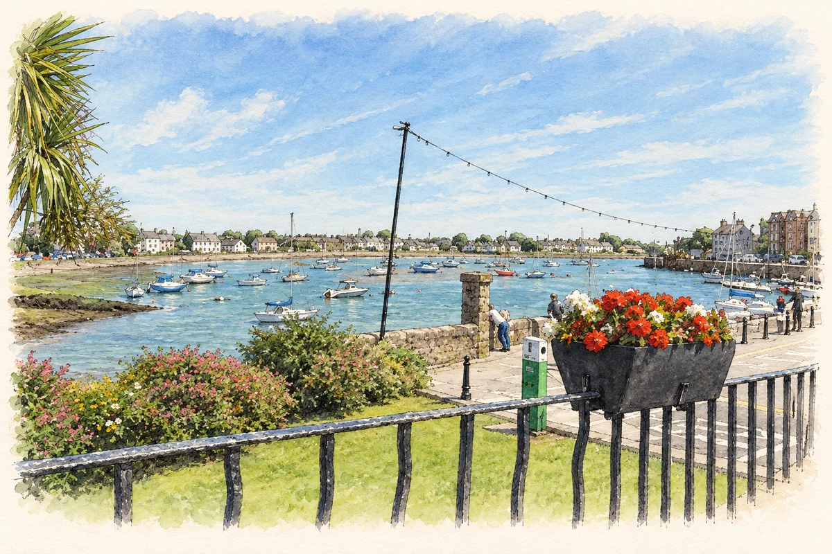
The causeway at Abbeyside opened in 1816. The architectural inventory explains that earlier crossings depended on a ford at Ballyneety to the north or a ferry between Roderick’s Quay and Abbeyside. The Duke of Devonshire supported a permanent crossing, but an ambitious proposal for a multi-arched bridge gave way to a more functional causeway. [2]
Devonshire Bridge, built in 1813–1816, carries a single arch over the Colligan. Its stone came from Runcorn in England. The inventory attributes the finished bridge to Jesse Hartley, following the failure of William Atkinson’s earlier attempt. Rusticated masonry and carved keystones distinguish the bridge from the simpler causeway beside it. [3]
The quay wall on Strandside South is another trace of Abbeyside’s maritime economy. The inventory dates its earlier limestone section to about 1820 and records a southward extension after 1940. Its sloping base and stone-capped parapet enclosed the strand on the eastern side of the bay. [4]
Census figures refer to the matched historical census area for each year. Boundaries and spellings can change over time.
No verified place match is available for this year. This does not indicate a population of zero.
Most frequent surnames in this year’s matched records
Explore the 1911 records ↗No verified place match is available for this year. This does not indicate a population of zero.
Name record retrieved 2026-10-25 · Source record modified 2025-01-10. How this page was prepared.