These Irish name elements are associated with this record in the Logainm glossary.
An element’s translation is a clue, rather than a complete explanation of the name. Its form and meaning depend on local history and the full Irish name.
Recorded forms
Baile na gCros· Irish · main form · validated name
Castlepollard· English · main form
Place & story
A market house through two centuries
Castlepollard's former market house and courthouse was built around 1815 as part of the town's redevelopment around its central square. Trading occupied the lower floor, with a courtroom above. The National Inventory of Architectural Heritage records its use as a temporary morgue after thirteen people were killed when constables fired on a fair-day crowd in May 1831. Burned in 1921, it was rebuilt in 1926, the date shown on its Town Hall plaque. Later uses included a fire station and library, making it a particularly visible record of changing civic functions.[2]
People & connections
Christine Longford at Tullynally
Writer Christine Pakenham, known as Christine Longford, lived with her husband Edward at Pakenham Hall on the Tullynally estate near Castlepollard after their marriage in 1925. They also maintained a Dublin home. Her novels included Making Conversation and Country Places, the latter a satire on the Irish landlord class. The couple learned Irish and supported cultural activities and home industries, including a handloom shop in Dublin. The estate's connection with her writing is therefore one of residence and social experience; she was born in England, rather than in Castlepollard.[3]
Folklore & tradition
The swans on Lough Derravaragh
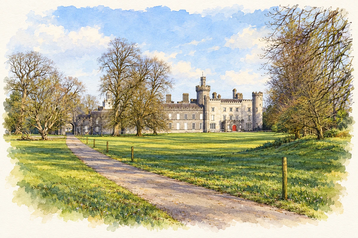
Nearby Lough Derravaragh is associated with the Children of Lir. In P. W. Joyce's translation of the tale, their jealous stepmother transforms four children into swans but leaves them able to speak. The lake is the first of the waters to which they are bound, before harsher years on the Sea of Moyle and the western sea. The narrative makes exile, family attachment and the passing of generations part of the lake's remembered landscape. It is literary folklore, not evidence that the surviving castle at Tullynally was the home of a historical King Lir.[4][5]
Both counts use the 2016 settlement boundary, allowing like-for-like comparison. CSO supplies the 2022 count on this older boundary for comparison only. The official 2022 Built Up Area has different boundaries.
View population figures
Castlepollard — Census 2016 settlement footprint — census population
Castlepollard, Westmeath — Census town, CSO 2006 report
2002–2006: census town
1,004people · 2006
These are the historical areas published in the 2006 census report. Boundaries may differ between censuses and from modern settlements. Legal towns, environs and suburbs are shown separately; none has been combined into a modern settlement total.
View population figures
Castlepollard, Westmeath — Census town, CSO 2006 report — census population
Castlepollard, Westmeath — Census town, CSO 1996 report
1991–1996: census town
888people · 1996
These are the historical areas published in the 1996 census report. Boundaries may differ between censuses and from modern settlements. Legal towns, environs and suburbs are shown separately; none has been combined into a modern settlement total.
View population figures
Castlepollard, Westmeath — Census town, CSO 1996 report — census population
Castlepollard, Westmeath — Census town, CSO 1986 report
1981–1986: census town
803people · 1986
Figures cover the historical town area printed in the 1986 report. Boundaries may have changed between censuses. Legal town, environs and suburb totals remain separate and differ from modern settlement boundaries.
View population figures
Castlepollard, Westmeath — Census town, CSO 1986 report — census population
These figures use different area definitions. Read the boundary note before comparing them.
Castlepollard, Westmeath
Published census settlement populations
1,163people · 2016
Settlement boundaries changed during this period. Differences may reflect boundary changes as well as population change. Where a 2011 legal-town-and-environs count is shown, it has not been recalculated onto the 2016 settlement boundary.
Tullynally Castle, near Castlepollard, County Westmeath illustration: based on a Tully Nally Castle or Packenham Hall Castle by Peter Gavigan. AI-assisted watercolour and ink adaptation; cream paper margins added, incidental clutter omitted and fine details simplified. Licence: CC BY-SA 3.0.
 placenames