Townland

Carrick

The recorded ringfort preserves several enclosing elements in low-lying pasture.
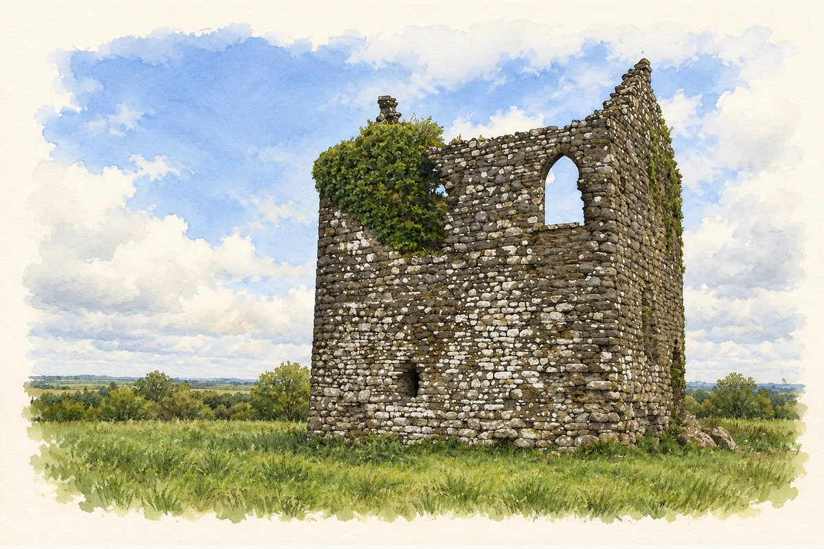
Watercolour and fine ink view of the roofless stone tower of Carrick Castle, with an upper pointed opening, low dark doorway and ivy on the left corner.
Illustration, Carrick Castle near Bunbrosna, County Westmeath
Recorded locationCarrick53.62551° N · 7.45235° WInteractive map supplied by OpenStreetMap.
Recorded place location · Logainm.ie

The name

A reliable full-name meaning has not been established here. The recorded Irish and English forms are given without an unsupported translation.

Recorded forms

  • Carrick · English · main form

Place & story

A layered earthwork

The archaeological survey records Carrick’s ringfort southeast of the stream forming the boundary with Grange townland. Its roughly circular interior measures about thirty by thirty-three metres. An earthen bank, a broad shallow ditch and portions of a lower outer bank and further ditch define the enclosure. The survey identifies a possible entrance on the northeast and notes a later field boundary crossing part of the site. These observations describe the surviving earthwork without establishing its inhabitants or a precise date for construction. [2]

Geographic information

Place type
Townland
County
Westmeath
Barony
Corkaree
Civil parish
Lackan
Coordinates
53.62551, -7.45235
Mapped area
1.23 km²
Logainm ID
51453 ↗

People & family history

Census figures refer to the matched historical census area for each year. Boundaries and spellings can change over time.

1901 census

15People recorded
3Households recorded

Most frequent surnames in this year’s matched records

  • Sharry 7
  • Gaynor 5
  • Leavy 2
  • Donleavy 1
Explore the 1901 records ↗

1911 census

18People recorded
3Households recorded

Most frequent surnames in this year’s matched records

  • Dalton 8
  • Leavy 5
  • Gaynor 4
  • Dardis 1
Explore the 1911 records ↗

1926 census

11People recorded
3Households recorded

Most frequent surnames in this year’s matched records

  • Leavey 5
  • Gaynor 4
  • Semple 2
Explore the 1926 records ↗

Sources & further reading

  1. Logainm.ie — Carrick. Place names and geographic record, licensed under CC BY 4.0.
  2. Carrick, Corkaree barony, ringfort WM006-054---- · Frank Coyne and Caimin O’Brien, Archaeological Survey of Ireland, uploaded 1 February 2017
  3. Boundary geometry retains its source attribution and licence in the downloadable geographic record. Map tiles © OpenStreetMap contributors.
  4. Surviving Carrick Castle near Bunbrosna, County Westmeath illustration: based on a Castles of Leinster: Carrick, Westmeath by Mike Searle. AI-assisted watercolour and ink adaptation; cream paper margins added, incidental clutter omitted and fine details simplified. Licence: CC BY-SA 2.0.

Name record retrieved 2026-10-25 · Source record modified 2008-09-15. How this page was prepared.