 placenames
Tirhugh
Tír Aodha
Ballyshannon’s nineteenth-century commerce linked the Erne fishery with overseas supplies.
The name
These Irish name elements are associated with this record in the Logainm glossary.
An element’s translation is a clue, rather than a complete explanation of the name. Its form and meaning depend on local history and the full Irish name.
Recorded forms
- Tír Aodha · Irish · main form
- Tirhugh · English · main form
Place & story
Goods through the harbour
In 1837 Samuel Lewis described Ballyshannon, in Tirhugh, exporting grain and salmon sold fresh, salted or pickled. He estimated the Erne salmon fishery’s annual production at sixty to eighty tons. Imports included coal, timber, slate, salt, iron and groceries. A distillery produced more than 100,000 gallons of whiskey annually, alongside a large brewery. These details show a trading economy extending beyond the town’s familiar role as a river crossing. [2]
Geographic information
Sources & further reading
- Logainm.ie — Tirhugh. Place names and geographic record, licensed under CC BY 4.0.
- Ballyshannon: A Topographical Dictionary of Ireland (1837) · Samuel Lewis
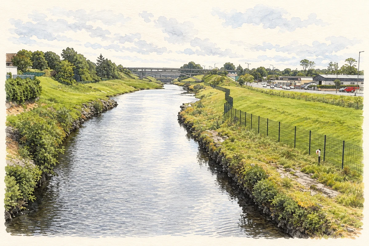
- River Erne at Ballyshannon illustration: based on a Erne River, Ballyshannon by Kenneth Allen. AI-assisted watercolour and ink adaptation; cream paper margins added, incidental clutter omitted and fine details simplified. Licence: CC BY-SA 2.0.
Name record retrieved 2026-10-25 · Source record modified 2026-09-19. How this page was prepared.