 placenames
1901 census
51People recorded
10Households recorded
Most frequent surnames in this year’s matched records
Explore the 1901 records ↗Martinstown House preserves details of an early nineteenth-century country house.
A reliable full-name meaning has not been established here. The recorded Irish and English forms are given without an unsupported translation.
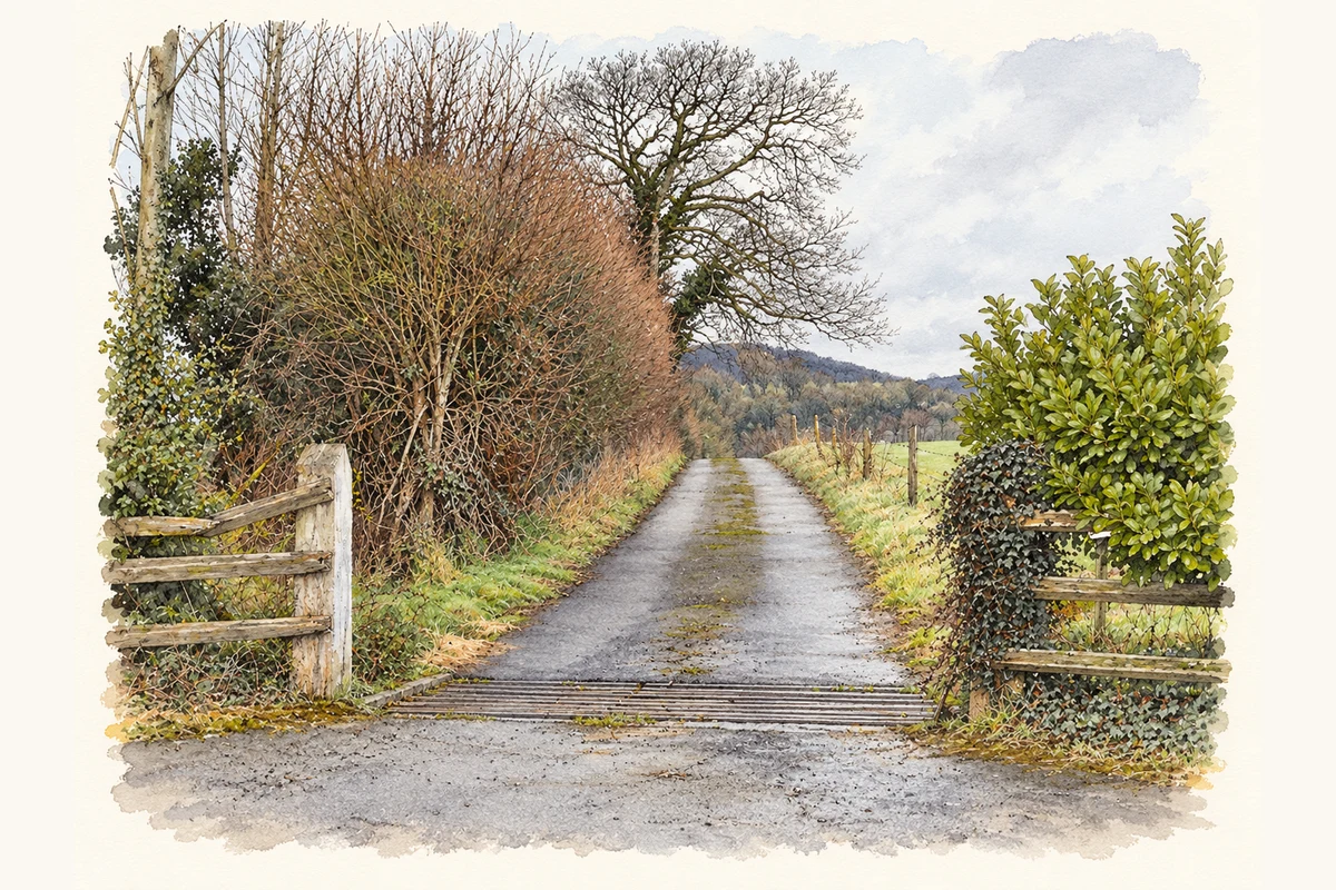
Martinstown House, west of Crookedwood, dates from about 1820. Its central doorway has a stone surround and a fanlight patterned like a spider’s web. Timber sash windows divide their glazing into six panes above three. Behind the house, limestone outbuildings dating from about 1860 form an L-shaped range. The National Inventory of Architectural Heritage also records stone gate piers and cast-iron gates along the roadside boundary. [2]
Census figures refer to the matched historical census area for each year. Boundaries and spellings can change over time.
Most frequent surnames in this year’s matched records
Explore the 1901 records ↗Most frequent surnames in this year’s matched records
Most frequent surnames in this year’s matched records
Explore the 1926 records ↗Name record retrieved 2026-10-25 · Source record modified 2008-09-15. How this page was prepared.