 placenames
Table Mountain
Sliabh an Tábla
An ecological survey recorded blanket bog extending across the townland and neighbouring uplands.
The name
These Irish name elements are associated with this record in the Logainm glossary.
An element’s translation is a clue, rather than a complete explanation of the name. Its form and meaning depend on local history and the full Irish name.
Recorded forms
- Sliabh an Tábla · Irish · main form · non-validated name
- Table Mountain · English · main form
Place & story
A landscape recorded in 1991
A mountain blanket-bog survey commissioned in 1991 included Table Mountain among several townlands within one larger study site. It described peat surviving on the mountain’s north-western shoulder, with a boundary drain along the ridge. Gentler northern slopes supported more widespread peat than the steeper ground. The survey recorded differences in vegetation and grazing pressure across the site, as well as old erosion channels, pools and areas affected by burning. These are dated field observations of a wider upland area, rather than a description of present conditions throughout the townland. [2]
Geographic information
- Place type
- Townland
- County
- Wicklow
- Barony
- Talbotstown Upper
- Civil parish
- Donaghmore
- Coordinates
- 53.01394, -6.49522
- Mapped area
- 2.05 km²
- Logainm ID
- 54834 ↗
Sources & further reading
- Logainm.ie — Table Mountain. Place names and geographic record, licensed under CC BY 4.0.
- Survey to Locate Mountain Blanket Bogs of Scientific Interest in Ireland,1991, Table Mountain siteW13 · Enda Mooney, Roger Goodwillie and Caitriona Douglas; commissioned by National Parks and Wildlife Service, OPW
- Boundary geometry retains its source attribution and licence in the downloadable geographic record. Map tiles © OpenStreetMap contributors.
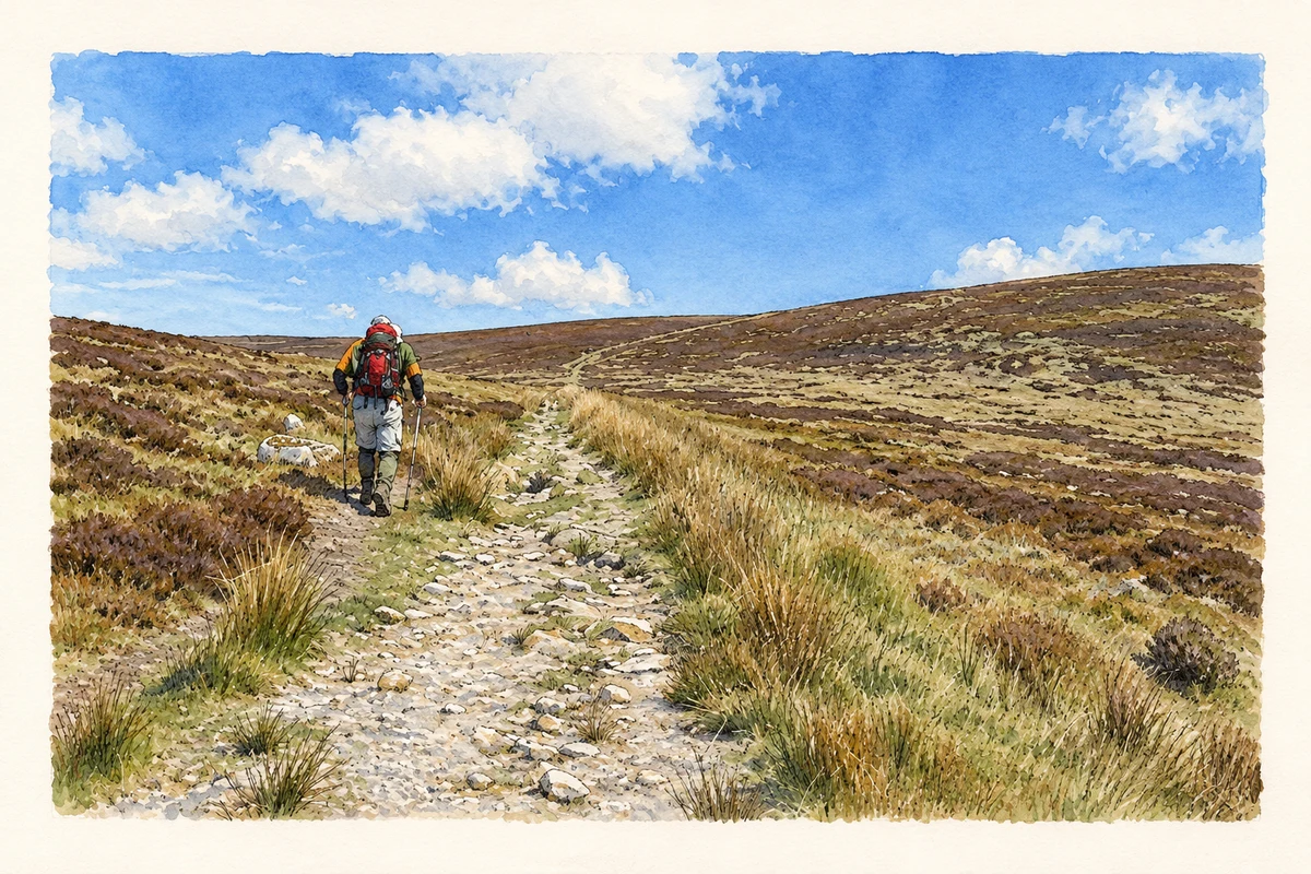
- Upland track near Table Mountain towards Camenabologue, County Wicklow illustration: based on a Track with Hiker by kevin higgins. AI-assisted watercolour and ink adaptation; cream paper margins added, incidental clutter omitted and fine details simplified. Licence: CC BY-SA 2.0.
Name record retrieved 2026-10-25 · Source record modified 2018-11-14. How this page was prepared.