A reliable full-name meaning has not been established here. The recorded Irish and English forms are given without an unsupported translation.
Recorded forms
Eachroim· Irish · main form · validated name
Aughrim· English · main form
Place & story
The river crossing
The National Inventory records Aughrim Bridge as a four-arched hump-backed crossing built around 1820. Rubble granite forms the structure, with triangular cutwaters dividing the flow. Its form is both practical and distinctive: the arches carry the road while the projecting cutwaters respond to the force of the river.[2]
Connecting an older centre
The inventory describes the crossing as a link between the oldest part of the town and later development on the southern side, including the railway area. This relationship is more useful than treating the bridge as an isolated monument. It shows how a structure built for one pattern of movement can continue to connect places whose uses and importance change over time. The railway connection belongs to a later phase than the bridge’s approximate construction date.[2]
Granite buildings and the 1798 landscape
Aughrim’s heritage trail links several familiar buildings with the local Tinakilly granite quarries. It dates the Catholic Church of the Sacred Heart to 1890, Ardee Row to 1893 and the old school to 1894. St John’s Church followed in 1913 on a site donated by the Earl and Countess of Meath. The repeated stone gives the town a recognisable visual character, while the dates reveal separate building campaigns.[3]
Rednagh Bridge, on the edge of the village, is associated with an engagement between Joseph Holt’s United Irishmen and Crown forces in September 1798. A town-centre column erected in 1998 commemorates people who died in the local rising. This Wicklow history must be kept separate from the Battle of Aughrim fought in County Galway in 1691; the shared place-name does not connect the two events.[3]
Both counts use the 2016 settlement boundary, allowing like-for-like comparison. CSO supplies the 2022 count on this older boundary for comparison only. The official 2022 Built Up Area has different boundaries.
View population figures
Aughrim — Census 2016 settlement footprint — census population
These are the historical areas published in the 2006 census report. Boundaries may differ between censuses and from modern settlements. Legal towns, environs and suburbs are shown separately; none has been combined into a modern settlement total.
View population figures
Aughrim, Wicklow — Census town, CSO 2006 report — census population
These are the historical areas published in the 1996 census report. Boundaries may differ between censuses and from modern settlements. Legal towns, environs and suburbs are shown separately; none has been combined into a modern settlement total.
View population figures
Aughrim, Wicklow — Census town, CSO 1996 report — census population
Figures cover the historical town area printed in the 1986 report. Boundaries may have changed between censuses. Legal town, environs and suburb totals remain separate and differ from modern settlement boundaries.
View population figures
Aughrim, Wicklow — Census town, CSO 1986 report — census population
These figures use different area definitions. Read the boundary note before comparing them.
Aughrim, Wicklow
Published census settlement populations
1,442people · 2016
Settlement boundaries changed during this period. Differences may reflect boundary changes as well as population change. Where a 2011 legal-town-and-environs count is shown, it has not been recalculated onto the 2016 settlement boundary.
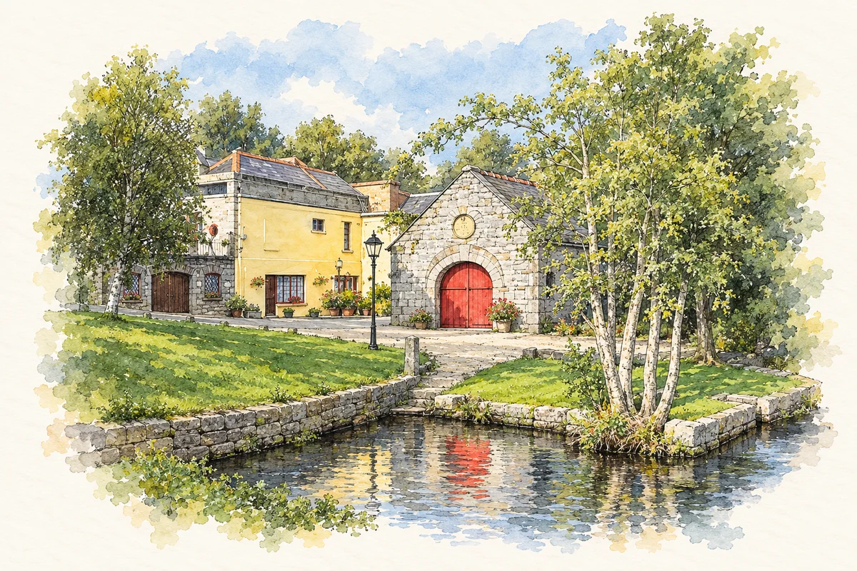
Aughrim Forge illustration: based on a reference photograph by Sarah777. AI watercolour/ink adaptation; clutter removed, margins added and fine details simplified. Licence: Public domain.
 placenames