 placenames
Ballsbridge
Droichead na Dothra
A Dodder crossing that became a district of exhibitions, public parks and showgrounds.
The name
These Irish name elements are associated with this record in the Logainm glossary.
An element’s translation is a clue, rather than a complete explanation of the name. Its form and meaning depend on local history and the full Irish name.
Recorded forms
- Droichead na Dothra · Irish · main form · validated name
- Ballsbridge · English · main form
Place & story
A bridge and a merchant family
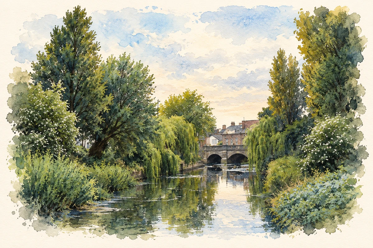
The Royal Dublin Society’s archivist Natasha Serne traces Ballsbridge’s name to the Ball family, Dublin merchants who owned a bridge across the Dodder in the sixteenth and seventeenth centuries. The present bridge dates from 1791. The district belonged to the Pembroke estate and the historic Pembroke Township, a setting that helps explain the later availability of substantial sites for institutions and public events. [2]
Room for the RDS
The RDS leased fifteen acres from the Earl of Pembroke in 1879, moving shows out of increasingly crowded Leinster House grounds. Architect Edward Wilkinson designed the Main Hall, completed in 1880 before the first Ballsbridge Horse Show in 1881. Its broad ground-floor entrances accommodated animals and exhibition material. The society bought the site in 1890, establishing a lasting institutional presence in the district. [2]
The organisers of the 1907 exhibition
William Dennehy, William Martin Murphy and project manager James Shanks were central to the Irish International Exhibition held in Ballsbridge in 1907. Intended to promote Irish industry, it opened on 4 May and combined manufactured goods with concerts and entertainments, including a water chute and illuminated ants’ nest. Dublin City Library’s account also records Somali families living and working in a staged village exhibit. The exhibition thus presented both industrial ambition and the colonial assumptions of its period. [3]
From the Forty Acres to Herbert Park
The ground later known as Herbert Park had been called the Forty Acres. In 1903 the Earl of Pembroke offered it for a public park, named for his father, Sidney Herbert. The 1907 exhibition temporarily occupied the site before its development as parkland. The surviving pond originally served the exhibition’s Canadian Waterchute. Dublin Corporation took over the park in 1932, continuing its transition from estate land and exhibition grounds to an everyday public space. [4]
Geographic information
- Place type
- Population centre
- County
- Dublin
- Barony
- Dublin
- Civil parish
- Donnybrook
- Coordinates
- 53.32533, -6.24382 (approximate)
- Logainm ID
- 57114 ↗
Sources & further reading
- Logainm.ie — Ballsbridge. Place names and geographic record, licensed under CC BY 4.0.
- RDS Celebrates 100 Years at its Ballsbridge Headquarters · Natasha Serne, RDS Head of Library and Archives
- The Irish International Exhibition of 1907, 3 March 2014 · Dublin City Library and Archive
- Herbert Park: History · Dublin City Council
- River Dodder and Ball's Bridge, Ballsbridge illustration: based on a Balls Bridge viewed along the River Dodder by Doug Lee. AI-assisted watercolour and ink adaptation; cream paper margins added, incidental clutter omitted and fine details simplified. Licence: CC BY-SA 2.0; adapted illustration distributed under the same licence.
Name record retrieved 2026-10-25 · Source record modified 2011-07-07. How this page was prepared.