 placenames
Clanawley
Clann Amhlaoibh
An 1837 description records the practical uses of stone in the wider Cleenish parish.
The name
A reliable full-name meaning has not been established here. The recorded Irish and English forms are given without an unsupported translation.
Recorded forms
- Clann Amhlaoibh · Irish · main form · non-validated name
- Clanawley · English · main form
Place & story
Quarries and flagstones
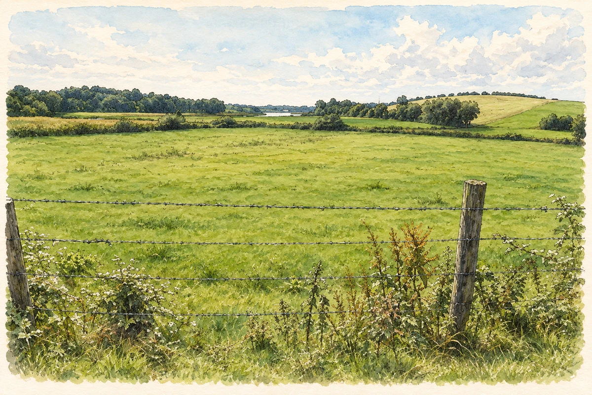
Samuel Lewis described Cleenish as a parish extending into three baronies but lying chiefly in Clanawley. In 1837 he recorded abundant limestone and freestone, quarried for farming and building, while its mountainous districts supplied flagstones. Much of the farmland was meadow or pasture, with cultivated ground also producing good crops. Woodland was scarce beyond estate grounds, and bogs and mountain land formed other substantial elements of this varied parish landscape. [2]
Geographic information
Sources & further reading
- Logainm.ie — Clanawley. Place names and geographic record, licensed under CC BY 4.0.
- Cleenish: A Topographical Dictionary of Ireland (1837) · Samuel Lewis
- Pasture on Cleenish Island, Clanawley illustration: based on a Cleenish Island, County Fermanagh by Kenneth Allen. AI-assisted watercolour and ink adaptation; cream paper margins added, incidental clutter omitted and fine details simplified. Licence: CC BY-SA 2.0.
Name record retrieved 2026-10-25 · Source record modified 2017-02-07. How this page was prepared.