 placenames
Magherastephana
An Machaire Steafánach
Monthly fairs brought together livestock, farm produce and textiles.
The name
These Irish name elements are associated with this record in the Logainm glossary.
An element’s translation is a clue, rather than a complete explanation of the name. Its form and meaning depend on local history and the full Irish name.
Recorded forms
- An Machaire Steafánach · Irish · main form · non-validated name
- Magherastephana · English · main form
Place & story
Encouraging buyers and sellers
Samuel Lewis recorded Brookeborough’s fairs on the third Tuesday of each month in 1837. Cattle, sheep and pigs were sold alongside butter, cloth and yarn. A managing committee awarded premiums to the largest buyers and sellers on each fair day, encouraging substantial trade. The town also held petty sessions on alternate Tuesdays and occasional manorial courts, while its parish schoolhouse accommodated Sunday evening worship. [2]
Geographic information
Sources & further reading
- Logainm.ie — Magherastephana. Place names and geographic record, licensed under CC BY 4.0.
- Brookborough: A Topographical Dictionary of Ireland (1837) · Samuel Lewis
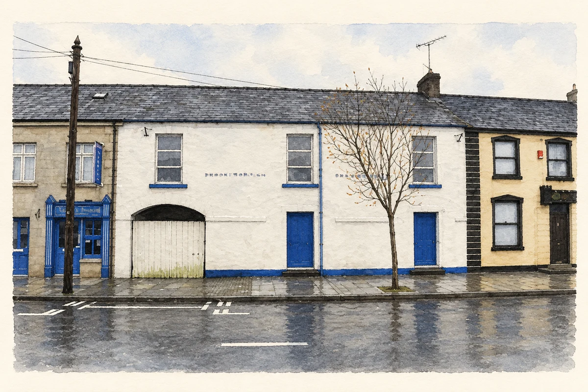
- Brookeborough Orange Hall on Main Street illustration: based on a Brookeborough Orange Hall by Kenneth Allen. AI-assisted watercolour and ink adaptation; cream paper margins added, incidental clutter omitted and fine details simplified. Licence: CC BY-SA 2.0.
Name record retrieved 2026-10-25 · Source record modified 2026-09-19. How this page was prepared.