 placenames
Devenish
Daimhinis
The civil parish extended far beyond Devenish Island, embracing farms, quarries and churches across western Fermanagh.
The name
A reliable full-name meaning has not been established here. The recorded Irish and English forms are given without an unsupported translation.
Recorded forms
- Daimhinis · Irish · main form
- Devenish · English · main form
Place & story
Work at the household loom
Samuel Lewis's 1837 account describes linen manufacture as part of ordinary farming in Devenish parish. Farmers engaged weavers to work at their own looms, while many women spun flax. Monea's fairs traded yarn and turned wooden goods alongside cattle. This combination of farm work, textile production and local markets reveals a rural economy that depended on more than cultivation and livestock alone. [2]
Stone moved by water
Lewis also records limestone quarries across the parish, including high-quality stone on Lough Erne's shore suitable for building and chimney pieces. The lake provided a means of transporting it. By contrast, although the Sillees River was partly navigable, he reported little use of it for carriage. The parish's waterways therefore offered different practical advantages, linking the location of resources with the routes available to move them. [2]
Medieval stone in a later church
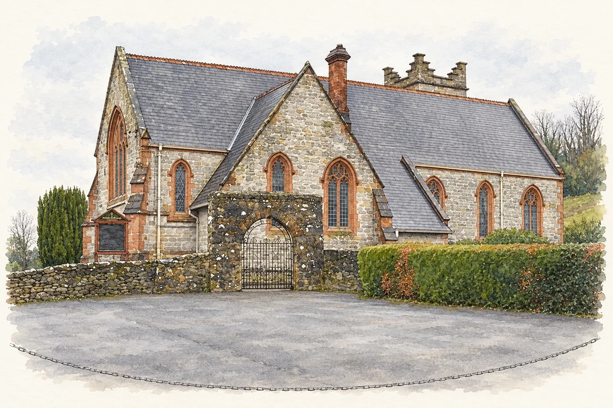
Saint Molaise's Church at Monea preserves a material connection with Devenish Abbey. The Church of Ireland's Gloine survey identifies a fifteenth-century traceried window and a font from the abbey in the mainland church. Its tower dates from 1787, while Sir Thomas Drew designed the later church of 1889–90. Limestone walls with contrasting red sandstone details place the reused medieval work within a distinctly later architectural setting. [3]
Geographic information
- Place type
- Civil parish
- County
- Fermanagh
- Barony
- Magheraboy
- Coordinates
- 54.38786, -7.85635 (approximate)
- Mapped area
- 129.19 km²
- Logainm ID
- 58944 ↗
Sources & further reading
- Logainm.ie — Devenish. Place names and geographic record, licensed under CC BY 4.0.
- Devenish, A Topographical Dictionary of Ireland, 1837 · Samuel Lewis, Library Ireland transcription reproduced by A Vision of Britain
- Devenish, Monea, Saint Molaise, survey 29 May 2009 · Church of Ireland, Gloine architectural and stained-glass survey
- Saint Molaise’s Church at Monea, County Fermanagh, south-side view photographed in April 2008 illustration: based on a St Molaise Church of Ireland, Monea by Kenneth Allen. AI-assisted watercolour and ink adaptation; cream paper margins added, incidental clutter omitted and fine details simplified. Licence: CC BY-SA 2.0.
Name record retrieved 2026-10-25 · Source record modified 2017-01-06. How this page was prepared.